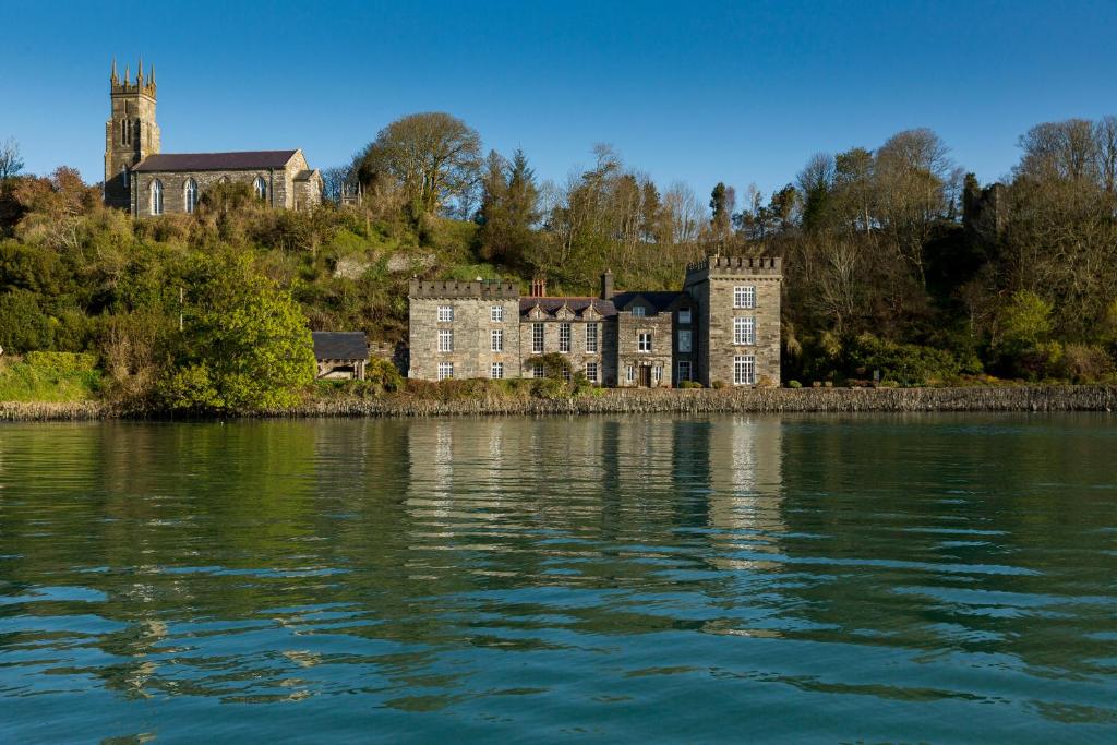
What is recorded here
Indicated is a fairy fort in County Cork, Ireland. A circular enclosure appeared on an 1842 map, measuring about twenty-five metres across. Today its levelled bank surfaces only as patches of lighter grass, hiding the fort from casual sight yet preserving its shape in the land.
Hachured as circular enclosure on OS 6-inch map (1842) (diam. c. 25m). Levelled bank visible as patches of lighter coloured grass.
The above description is derived from the published 'Archaeological Inventory of County Cork. Volume 1: West Cork' (Dublin: Stationery Office, 1992). In certain instances the entries have been revised and updated in the light of recent research.
Date of upload/revision: 14 January 2009
The monument record does not grant public access. Check the route and ask the landowner before entering private land.
- What survives
- Recorded monument
Places near here
 Sandy CoveBeach / strand · 381 yd
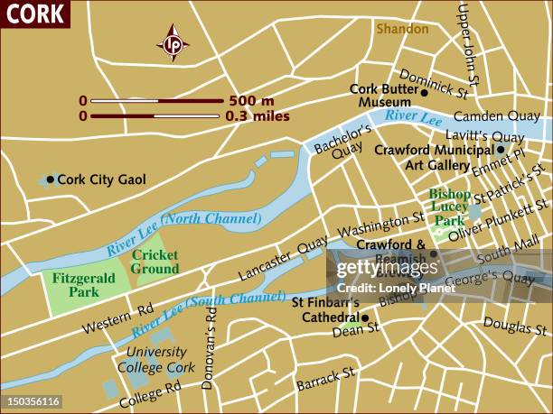 Tráigh CartaBeach / strand · 542 yd
 Placenames & Their Amazing StoriesHeritage attraction · 544 yd
 Faill ÁrdCliff · 607 yd
 Kill Burial GdBurial ground · 615 yd
 gate lodgegate lodge · 706 yd
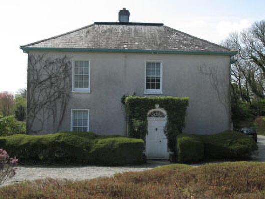 Castlehaven Houserectory/glebe/vicarage/curate's house · 773 yd
 Gleann BearcháinWood · 816 yd
 ToberbarahaneHoly well · 820 yd
 Flea IslandIslet · 836 yd
 Castlehaven CastleCastle · 976 yd
 Horse IslandIslet · 1144 yd
Other information
Photo: Credit not shown in the picture search · Rights wording not checked; contact us if this picture should be removed