
What is recorded here
Enclosure in Castlegarde is a rectangular earthwork beside a ringfort in County Limerick, visible from above but easily lost on foot. It may have held livestock, tools or a household, while the round fort watched over the wider valley. The field boundary nearby suggests people still shape that land, even if they no longer name the enclosure.
This is a rectangular enclosure evident on Google Earth immediately SW of a field boundary and c. 45m NW of ringfort (LI015-037----).
Compiled by: Denis Power
Date of upload: 4 July 2013
The monument record does not grant public access. Check the route and ask the landowner before entering private land.
- What survives
- Recorded monument
Places near here
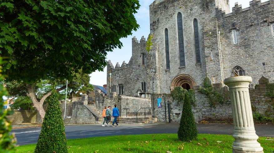 IndicatedFairy fort / earthen ringfort · 107 yd
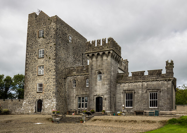 Enclosure in CastlegardeEnclosure · 245 yd
 Castle Gardecountry house, castle/fortified house · 696 yd
 Blackboy Bridgebridge · 1641 yd
 CastleCastle, unclassified · 1.7 mi
 Tower HillCastle, unclassified · 1.8 mi
 ToberagaddySpring · 2.9 mi
 KnockseefinMountain / peak · 3.8 mi
 Slieve FelimMountain / peak · 4.8 mi
 Sliev Felim WayVisitor information · 5.1 mi
 Graveyard in AbingtonGraveyard · 5.3 mi
 St. Patrick's WellSpring · 6.6 mi
Other information
Photo: Credit not shown in the picture search · Rights wording not checked; contact us if this picture should be removed