What is recorded here
Grave Yard stands on a rocky Kerry rise where burial required carrying in earth because the native ground refused to give up its stones. That simple act turned mourning into labour, forcing the living to build a soft place for the dead inside a landscape that resisted forgetting. Molahiffe church watches from the northeast quadrant, framing the rectangular stone wall and the hidden depth of every grave. The yard does not pretend ease; it records the effort needed to make death acceptable under a sky that never stopped watching.
On a rise. A rectangular graveyard (61m E-W; 46m N-S) enclosed by a random rubble limestone wall. According to local information, people wishing to bury their dead had to bring in earth because of the rocky nature of the ground. Molahiffe church (KE048-036001-) is situated in the NE quadrant of the graveyard. (CDAS; O'Hare 2000, 94-6)
See attached plan of church and graveyard courtesy of Stephen Hourihane
Compiled by: Elizabeth Byrne, Ursula Egan and Sheila Ronan, Archaeological Survey Unit, University College, Cork.
Date of upload: 31 January 2011
A rectangular graveyard with a limestone wall; likely medieval or later. Its significance lies in reflecting local burial practices and land adaptation in a rocky landscape.
The monument record does not grant public access. Check the route and ask the landowner before entering private land.
- What survives
- Recorded monument
Places near here
 Molahiffe Church (in rRuins)Church · 10 yd
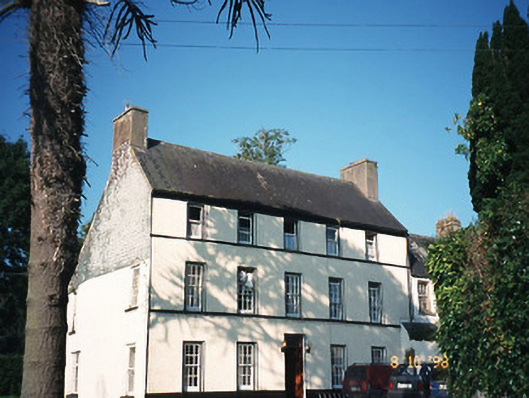 Castlefarmhouse · 154 yd
 CastleCastle, ringwork · 192 yd
 Site of CourtCastle, unclassified · 224 yd
 Partially indicatedEcclesiastical enclosure · 819 yd
 Enclosure in CastlefarmEnclosure · 825 yd
 Ballygamboon Forest Recreation AreaWood · 3.8 mi
 Monument WoodWood · 5.5 mi
 The Kerry Creamery ExperienceHeritage attraction · 5.6 mi
 Scotia's GraveArchaeological place · 5.6 mi
 Aghadoe Early Medieval Ecclesiastical SiteHeritage attraction · 7.5 mi
 Famine MemorialMemorial · 8.6 mi