What is recorded here
Castlefarm holds a hidden earthwork complex beside a live trackway, marking human activity that ordinary maps never captured. The site emerged only through aerial photography, suggesting people shaped that land long before modern records arrived. It still belongs to the village, waiting for local memory to complete what satellite images first revealed.
In improved pasture, on a farm trackway, on the outskirts of Hospital village, 400m NE of a townland boundary with Millfarm. An enclosure (LI032-146002-) lies 190m to SE, on Hospital Hill. Not depicted on OSi historic maps. Monument identified as an earthwork complex from examination of oblique aerial photograph taken 20/07/1968 (CUCAP AVT025). Linear earthworks visible on OSi orthoimages taken 2005-12.
See attached CUCAP orthoimage
Compiled by: Alison McQueen and Vera Rahilly
Date of upload: 9 November 2020
See attached ASI aerial photograph ASIAP – 352/3 taken on 05/01/2003.
The monument record does not grant public access. Check the route and ask the landowner before entering private land.
- What survives
- Recorded monument
Places near here
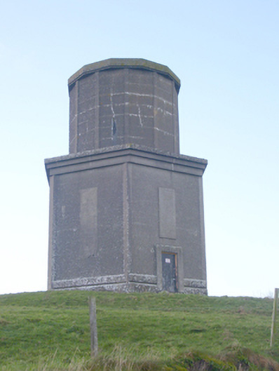 water towerwater tower · 153 yd
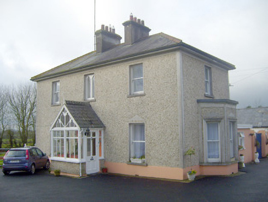 The Villahouse · 184 yd
 BarrowBarrow, unclassified · 439 yd
 St Johns Well (Site of)Holy well · 649 yd
 Flat cemetery in Knockainy WestFlat cemetery · 1.2 mi
 Ballynamona Castle (Site of)Castle, unclassified · 1.4 mi
 Desmond Castle (in ruins)Castle, unclassified · 1.5 mi
 KnockainyMountain / peak · 1.8 mi
 Kilteely HillMountain / peak · 2.9 mi
 St. Patrick's WellSpring · 3.4 mi
 St Patrick's WellSpring · 3.8 mi
 Ballinvreena LoopVisitor information · 6.3 mi