What is recorded here
Steevenstonne castle is recorded in 1655 and 1656 close to the SW boundary of Stephenstown South, but no exact spot remains known. It may have stood as a small defensive house, a boundary marker, or a forgotten residence for a local family. The loss of its position turns the castle into a ghost that still belongs to the land, waiting for someone to remember where it stood.
‘Steevenstonne’ castle is recorded on the Down Survey (1655-6) close to the SW boundary of Stephenstown South townland. Its precise location is, however, unknown.
Compiled by: Gearóid Conroy
Date of upload: 06 July 2012
The monument record does not grant public access. Check the route and ask the landowner before entering private land.
- What survives
- Recorded monument
Places near here
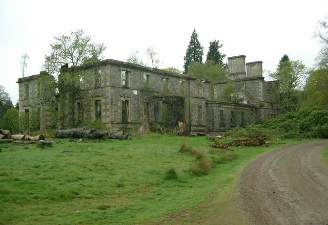 Enclosure in Stephenstown SouthEnclosure · 422 yd
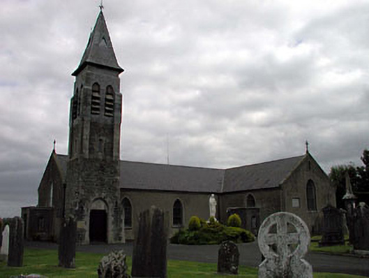 Saint Peter's Catholic Churchchurch/chapel · 676 yd
 Font (present location) in Stephenstown NorthFont (present location) · 727 yd
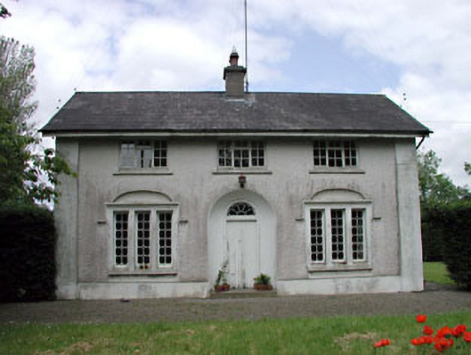 Dunnstown Farmhouse · 1312 yd
 Site of CastleCastle, unclassified · 1.2 mi
 European ashEuropean ash · 1.6 mi
 CastleCastle, unclassified · 1.7 mi
 Sillagh Bog WoodForest · 2.2 mi
 Poplar SquarePicnic place · 4.0 mi
 Newbridge SilverwareMuseum · 4.2 mi
 Councillor Jim MileyMemorial · 6.6 mi
 Proclamation of the Irish RepublicMemorial · 6.6 mi