What is recorded here
Knockroe appeared on the 1842 map as a small cluster of seven mud houses, but only three remain today. One has collapsed into ruin, one wears slate, and one bears corrugated iron. The missing houses vanished without trace, perhaps swallowed by hunger, marriage or simple forgetting. What is left stands bare on the Cork landscape, its brick chimneys still pointing upward like abandoned sentences.
Named 'Knockroe' on 1842 OS 6-inch map, now abandoned. Only three out of approx. seven houses remain, one in ruins. All are 1-storey, mud built, gable-ended, with single end chimney of brick. Top of wall, gable with chimney and ope surrounds are stone built. One has slate roof, other of corrugated iron.
The above description is derived from the published 'Archaeological Inventory of County Cork. Volume 2: East and South Cork' (Dublin: Stationery Office, 1994). In certain instances the entries have been revised and updated in the light of recent research.
Date of upload/revision: 14 January 2009
The monument record does not grant public access. Check the route and ask the landowner before entering private land.
- What survives
- Recorded monument
Places near here
 Kinsale HarbourBay · 662 yd
 Dock BeachBeach / strand · 1064 yd
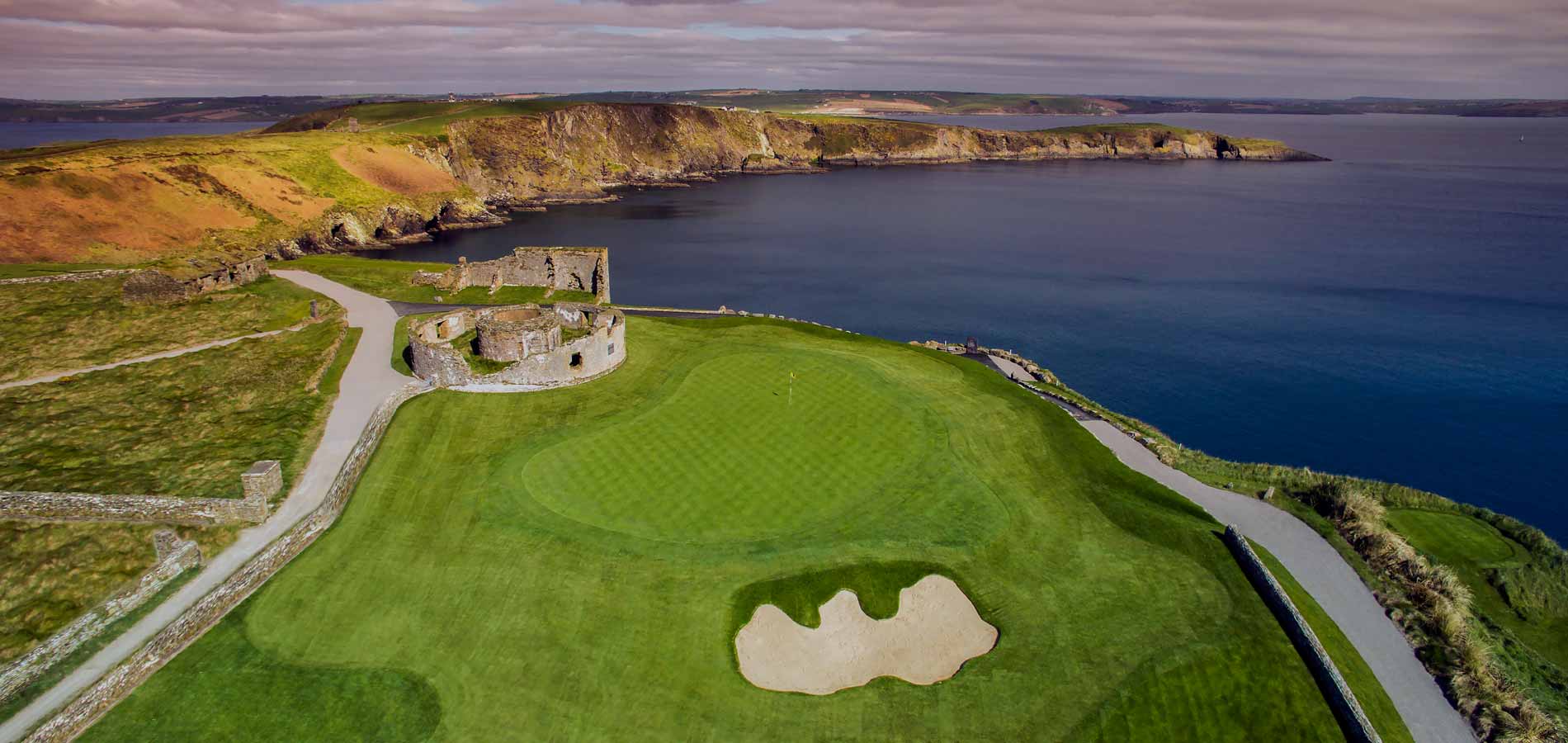 Fulacht fia in Castle-ParkFulacht fia · 1225 yd
 Ladys WellHoly well · 1235 yd
 Church (in Ruins)Church · 1262 yd
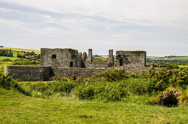 James FortVisitor information · 1317 yd
 Charlesfort LighthouseLighthouse · 1329 yd
 Ringrone Castle (in Ruins)Castle, tower house · 1332 yd
 Ringrone CastleCastle · 1336 yd
 Sandy Cove IslandIslet · 1433 yd
 World War I MemorialMemorial · 1731 yd
 Eoin O ConnorGallery · 1.1 mi
Other information
Photo: Credit not shown in the picture search · Rights wording not checked; contact us if this picture should be removed