What is recorded here
Cartrons held a true ringfort near the ridge top, visible on maps from 1837 to 1914, but local people levelled it in the early 1970s. The earth forgot its own shape, yet aerial photographs still reveal the circular ghost beneath the grass. What was built to be seen was erased by hands that never asked permission, leaving only a shadow the sky can still read.
Close to the highest point of a prominent ridge. Named 'Fort' on the 1837 ed. and depicted as a circular enclosure on it and the 1914 ed. of the OS 6-inch map. The monument was levelled in the early 1970s (local information). While not visible at ground level, its outline is clearly evident on aerial photograhps (SMR file).
Compiled by: Patrick F. O'Donovan
Date of upload: 21 February 2012
A fairy fort or earthen ringfort in Cartrons, Longford, is a circular enclosure likely dating to the early medieval period, used as a small defensive or agricultural settlement. It was named 'Fort' on early Ordnance Survey maps and was associated with local folklore surrounding fairies, though it was later levelled in the early 1970s.
The monument record does not grant public access. Check the route and ask the landowner before entering private land.
- What survives
- Recorded monument
Places near here
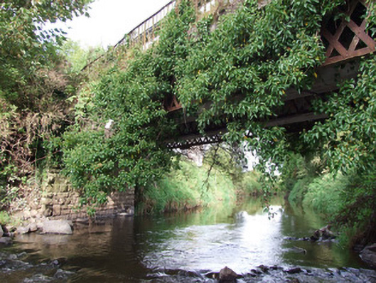 bridgebridge · 572 yd
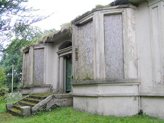 Mullagh Househouse · 817 yd
 Enclosure in LismoreEnclosure · 850 yd
 Furnace in MullaghFurnace · 880 yd
 Bawn in AbbeycartronBawn · 1.1 mi
 First World War MemorialMemorial · 1.4 mi
 Saint Mel's CathedralCathedral · 1.4 mi
 Graveyard in Curry (ardagh By., Coolamber Ed)Graveyard · 3.4 mi
 CastleCastle, Anglo-Norman masonry castle · 4.7 mi
 Commons North WalkVisitor information · 8.2 mi
 Wild birdsVisitor information · 8.4 mi
 White Sand WoodWood · 8.8 mi