What is recorded here
On top of a low ridge in pastureland. This subcircular area (dims. 9m N-S; 7.8m E-W) is defined by an irregularly edged earthen scarp (Wth 0.65m; H 0.45m) with evidence of external stone kerbing in places. The scarp has been straightened all around for short lengths. The interior is uneven with slight dips in places. An ESB pole stands 4m to the NW.
Updated by: Olive Alcock
Date of revised upload: 26 March 2018
The monument record does not grant public access. Check the route and ask the landowner before entering private land.
- What survives
- Recorded monument
Places near here
 Cross in CarrownagarryCross · 340 yd
 water pumpwater pump · 541 yd
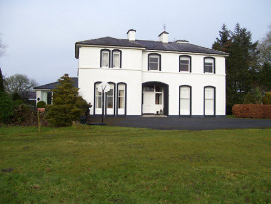 Gardenfield Househouse · 797 yd
 Man-made underground passageMan-made underground passage · 1053 yd
 European ashEuropean ash · 1.2 mi
 CastleCastle, unclassified · 1.9 mi
 Castle (in ruins)Castle, tower house · 2.8 mi
 Mass RockNamed rock · 3.1 mi
 KnockmaaWood · 5.9 mi
 Kilcoona Round TowerHeritage attraction · 9.8 mi
 Ballinduff BayBay · 12 mi
 Enclosure in GardenfieldEnclosure · 1120 yd