What is recorded here
In gently undulating pastureland. An oval mound (dims. 23m N-S; 14m E-W) defined by gently sloping sides (H 1.15m). There is a slight linear depression (L 8m; Wth 3.5m; D 0.15m) at the base of mound on W side and the remains of stone field boundary, aligned WNW-ESE, on NE side. A similar mound is visible in the adjacent field to NE.
Compiled by: O. Alcock
Date of upload: 18 August 2010
The monument record does not grant public access. Check the route and ask the landowner before entering private land.
- What survives
- Recorded monument
Places near here
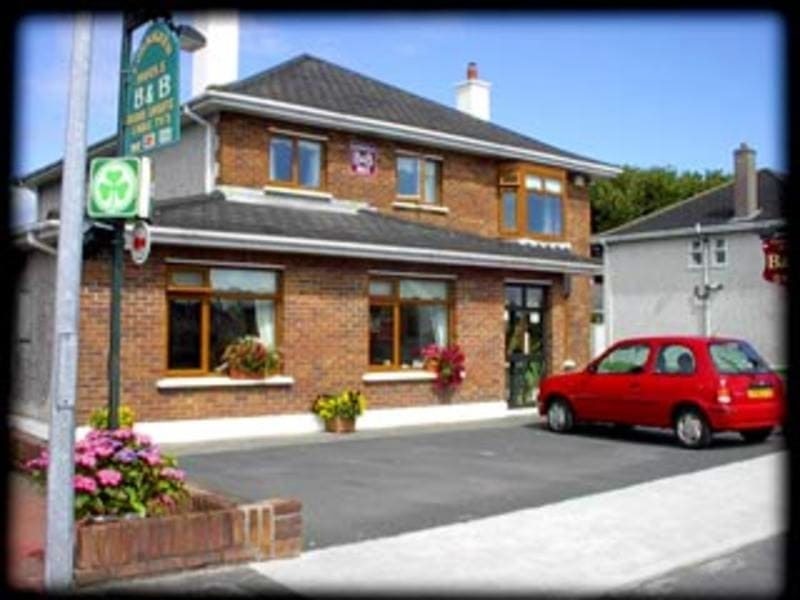 Enclosure in GardenfieldEnclosure · 693 yd
 LismoreArchaeological place · 789 yd
 water pumpwater pump · 1265 yd
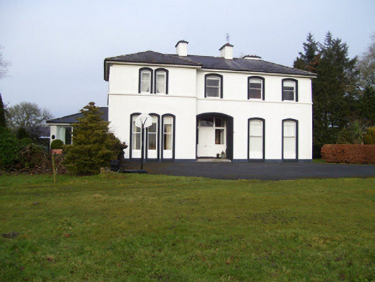 Gardenfield Househouse · 1467 yd
 European ashEuropean ash · 1.4 mi
 Fartamore Castle in ruinsCastle, tower house · 2.5 mi
 Fartamore Castle (ruins)Castle · 2.5 mi
 Mass RockNamed rock · 3.2 mi
 KnockmaaWood · 6.4 mi
 Kilcoona Round TowerHeritage attraction · 10 mi
 Ballinduff BayBay · 13 mi
 Scrat na nDeorRitual site, holy tree/bush · 931 yd