What is recorded here
In pasture, located on a slight rise with good views. The Gweestion River is 440m to N.
Raised circular area (28.5m NE–SW) defined by an earthen scarp (H 0.85m at SW; 1.3m at NE), and enclosed S–WSW by a fosse (Wth 3m) and external bank (Wth 2.9m; int. H 0.45m; ext. H. 1.1m at SW).
The enclosing scarp is at S–W is rather low and degraded. The external bank and part of the fosse have been truncated at W–NW by a modern road and have been levelled N–S. The original entrance may have been to the SSE where there is a dilapidated gap (Wth 2m) in the bank.
A low mound (3.2m NE–SW; 4.6m NW–SE; H 0.5m) of earth and stone is located to NE of centre in the level interior, probably a field clearance heap.
The rath perimeter is ringed with hawthorn and hazel, and much of the interior is engulfed in a dense spread of brambles which impeded examination. A heap of large field clearance boulders is dumped in the fosse at SE. There are raths (MA 071-013----; MA071-014----) 120m to NW and 230m to NNE, respectively.
Compiled by: Jane O’Shaughnessy
Date of upload: 25 June 2021
Carrowgallda is a likely early-medieval ringfort, characterized by a circular earthen bank and a partial fosse, typical of agricultural or defensive settlements of the period. Local tradition associates such sites with fairy lore, often considering them as dwellings or portals for supernatural beings.
The monument record does not grant public access. Check the route and ask the landowner before entering private land.
- What survives
- Recorded monument
Places near here
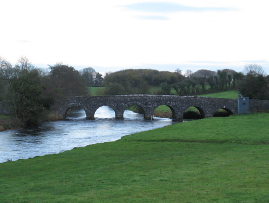 Scarrownageeragh Bridgebridge · 524 yd
 IndicatedFairy fort / earthen ringfort · 971 yd
 Bohola ChurchChurch · 1557 yd
 Castle in ruinsCastle, tower house · 1685 yd
 Enclosure in BoholaEnclosure · 1715 yd
 Shonagawna Castle in RuinsCastle, unclassified · 1.7 mi
 Michael DavittMemorial · 2.7 mi
 Thorn CaveCave · 3.7 mi
 Youth Memorial GardenMemorial · 4.7 mi
 Foxford Woollen MillsHeritage attraction · 4.9 mi
 Hennigan's Heritage CentreHeritage attraction · 4.9 mi
 Brabazon WoodsForest · 5.0 mi