What is recorded here
In pasture, located on the W end of a knoll, with a fall of ground to N giving very good views in all directions. The Gweestion River is 140m to N.
Roughly circular, raised area (diam. c. 22m NW–SE) defined by an earthen bank/scarp (Wth c. 3-3.5m; int. H 0.15m; ext. H 1.55m at N, 1.4m at S) with a low internal lip.
Two narrow linear gullies or trenches (Wth 0.6-0.8m; D 0.2m), set 2m apart, extend across the interior on a NNE–SSW axis; they appear to be relatively recent in date and their function is unclear. The rath is engulfed in blackthorn and brambles which makes examination difficult. There are raths (MA 071-012----; MA071-015----MA071-013----; MA071-015----; MA071-017----) 200m to NW, 190m to SW, 240m to S and 240m to E, respectively.
Compiled by: Jane O’Shaughnessy
Date of upload: 25 June 2021
The monument record does not grant public access. Check the route and ask the landowner before entering private land.
- What survives
- Recorded monument
Places near here
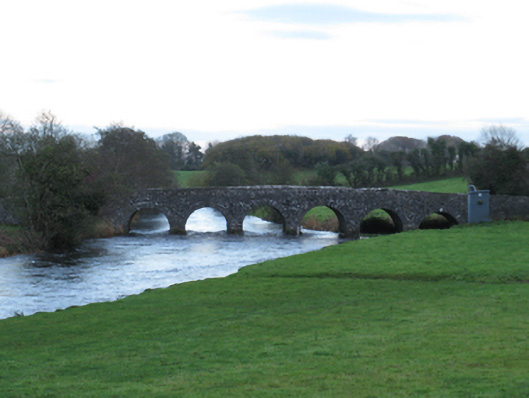 Scarrownageeragh Bridgebridge · 220 yd
 IndicatedFairy fort / earthen ringfort · 781 yd
 Bohola ChurchChurch · 1.1 mi
 Castle in ruinsCastle, tower house · 1.1 mi
 Enclosure in BoholaEnclosure · 1.1 mi
 Shonagawna Castle in RuinsCastle, unclassified · 1.6 mi
 Michael DavittMemorial · 2.8 mi
 Thorn CaveCave · 3.7 mi
 Youth Memorial GardenMemorial · 4.6 mi
 Hennigan's Heritage CentreHeritage attraction · 4.7 mi
 Foxford Woollen MillsHeritage attraction · 4.8 mi
 Brabazon WoodsForest · 4.9 mi