What is recorded here
In pasture, located on top of a ridge, with good views of the surrounding undulating grassland.
Slightly raised circular area (33.8m E–W; 34.7m N–S) defined by a stony scarp (ext. H 1m). The scarp is very dilapidated, with short lengths at NE and S disturbed or partly levelled, and a section at NW–N quarried away. It is topped with a low, irregular spread of sod-covered stone, possibly a robbed-out wall. At SSE–SW it forms a more clearly defined stone bank (Wth 2.7m; int. H 0.3m; ext. H 0.55m); a gap of 1.7m separates this from an inner stony rise (Wth 1.8m; H 0.3m) which is irregular, poorly defined, and does not occur elsewhere around the circuit.
The interior is slightly higher in the centre and N, giving enclosure a somewhat domed appearance in profile. A slightly raised mossy line, extending on a NW–SE axis through the centre, may be the remnant of a field boundary or internal division. In the N half of the interior a series of interconnected irregular hollows may indicate a collapsed Man-made underground passage (MA062-086001).
Rough grass in the rath interior; heather and a few hawthorn trees on the enclosing scarp. There is cairn located 35m to NE, and a rath (MA072-004001-) 200m to SE.
Compiled by: Jane O’Shaughnessy
Date of upload: 25 November 2020
The monument record does not grant public access. Check the route and ask the landowner before entering private land.
- What survives
- Recorded monument
Places near here
 IndicatedEnclosure · 1019 yd
 ToberbrideHoly well · 1089 yd
 Brabazon WoodsForest · 1459 yd
 handball alleyhandball alley · 1.0 mi
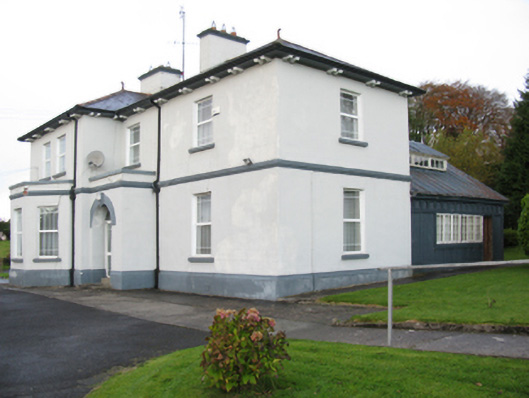 Catholic Church of Our Lady Help of Christianspresbytery/parochial/curate's house · 1.0 mi
 Procession Of The SoulsMemorial · 1.2 mi
 Youth Memorial GardenMemorial · 1.2 mi
 Thorn CaveCave · 2.7 mi
 HawthornHawthorn · 3.3 mi
 Castle (in Ruins)Castle, unclassified · 3.6 mi
 Hennigan's Heritage CentreHeritage attraction · 3.7 mi
 Kiltimagh MuseumMuseum · 5.9 mi