What is recorded here
In pasture, located on top of a ridge, utilising the steep natural slope to SW–W.
Slightly raised broadly oval area (28.4m E–W; 22.6m E–W) defined by a low earthen scarp. The N and SE arcs of the rath have been partly levelled.
At SW–W the enclosing scarp (H 1.6m) remains well defined where it is cut into and enhanced by the steep natural slope. At WNW–NE it has been levelled and is visible only as a low curving rise or undulation. A short section (H 1.4m) at E–ESE is also well defined, shielded by a N–S field wall that traverses the E edge of the rath. At SE–SSW the scarp is levelled but a few stones protrude from the sod along its original circuit.
The interior is level, except for a slight slump in the NE quadrant. No entrance feature is evident but, given the natural terrain, it is most likely to have been on the E–S side.
Three field walls subdivide the rath interior: An E-W field wall bisects the interior to N of centre, a perpendicular wall extends to N from this through the NW quadrant, and another field wall extend S from the E-W wall through the SE quadrant.
There is a rath (MA062-081001-) visible on top of a knoll 100m to WNW and another rath (MA072-002----) 100m to SE.
Compiled by: Jane O’Shaughnessy
Date of upload: 25 November 2020
The monument record does not grant public access. Check the route and ask the landowner before entering private land.
- What survives
- Recorded monument
Places near here
 IndicatedEnclosure · 834 yd
 ToberbrideHoly well · 1229 yd
 Brabazon WoodsForest · 1516 yd
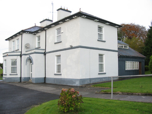 Catholic Church of Our Lady Help of Christianspresbytery/parochial/curate's house · 1579 yd
 bridgebridge · 1602 yd
 Youth Memorial GardenMemorial · 1.1 mi
 Procession Of The SoulsMemorial · 1.2 mi
 Thorn CaveCave · 2.5 mi
 HawthornHawthorn · 3.2 mi
 Castle (in Ruins)Castle, unclassified · 3.5 mi
 Hennigan's Heritage CentreHeritage attraction · 3.5 mi
 Kiltimagh MuseumMuseum · 5.8 mi