What is recorded here
In pasture, located on top of a NE–SW ridge. Slightly raised, roughly circular area (c. 44m NNW–SSE; c. 43m WSW–ESE) defined by a stony scarp (H 0.8m at SW). The scarp is incorporated at NE–SE into a later field fence/property boundary; at SSE–WSW stones, possibly wall footings, protrude along upper edge of the scarp; at W–NNE the scarp is difficult to trace and is degraded to a low stony rise (Wth 2-2.5m). In the NW quadrant of the interior there is a linear depression (L c. 8m NW−SE; Wth 1.2m base, 2m top; D 0.5m).
The rath is bisected N of centre by a field fence on a roughly E–W axis, and a post and wire property boundary extends to NW from this. To S of the E–W field fence, the interior is grass covered; to N of the fence, the interior is engulfed in hawthorn, blackthorn and hazel trees, which also ring the perimeter.
There is a rath (MA062-081001-) 280m to SE.
Compiled by: Jane O’Shaughnessy
Date of upload: 25 November 2020
The monument record does not grant public access. Check the route and ask the landowner before entering private land.
- What survives
- Recorded monument
Places near here
 IndicatedFairy fort / earthen ringfort · 971 yd
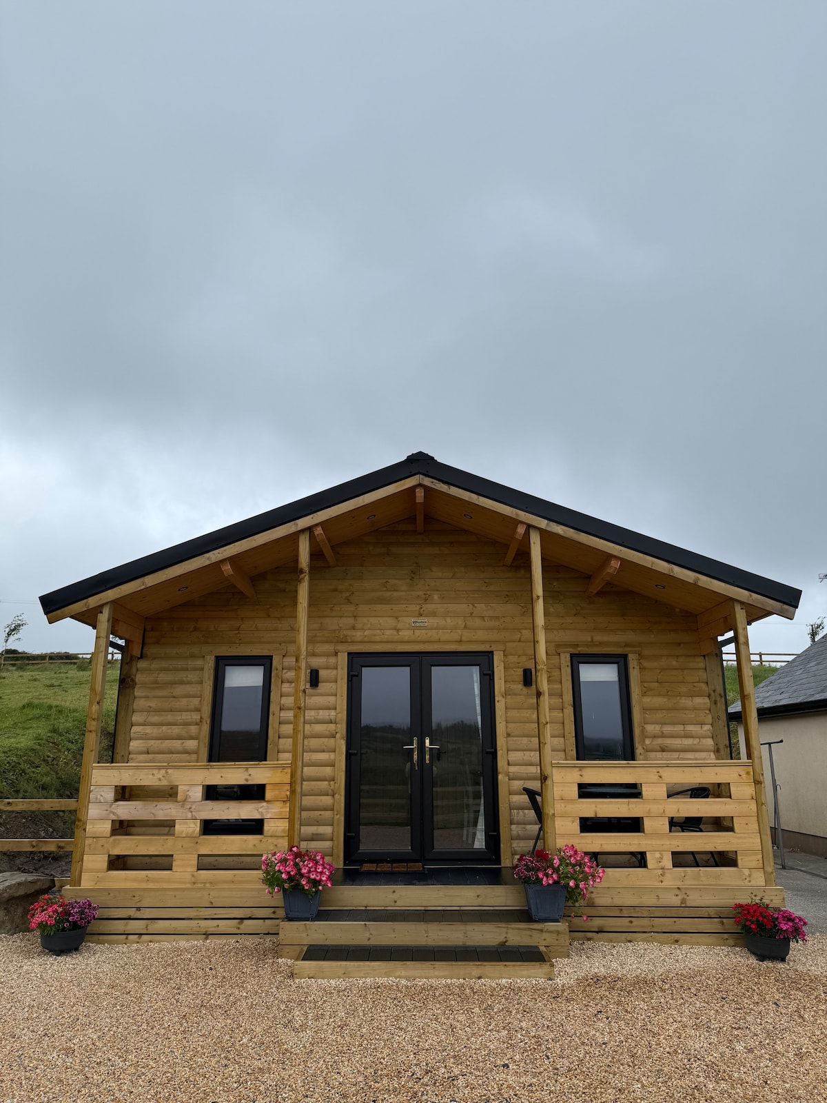 Enclosure in NewparkEnclosure · 1062 yd
 bridgebridge · 1090 yd
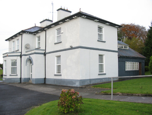 Catholic Church of Our Lady Help of Christianspresbytery/parochial/curate's house · 1400 yd
 Brabazon WoodsForest · 1569 yd
 Youth Memorial GardenMemorial · 1742 yd
 Procession Of The SoulsMemorial · 1.2 mi
 Thorn CaveCave · 2.5 mi
 HawthornHawthorn · 3.1 mi
 Castle (in Ruins)Castle, unclassified · 3.3 mi
 Hennigan's Heritage CentreHeritage attraction · 3.3 mi
 Bawn in ToomoreBawn · 5.1 mi