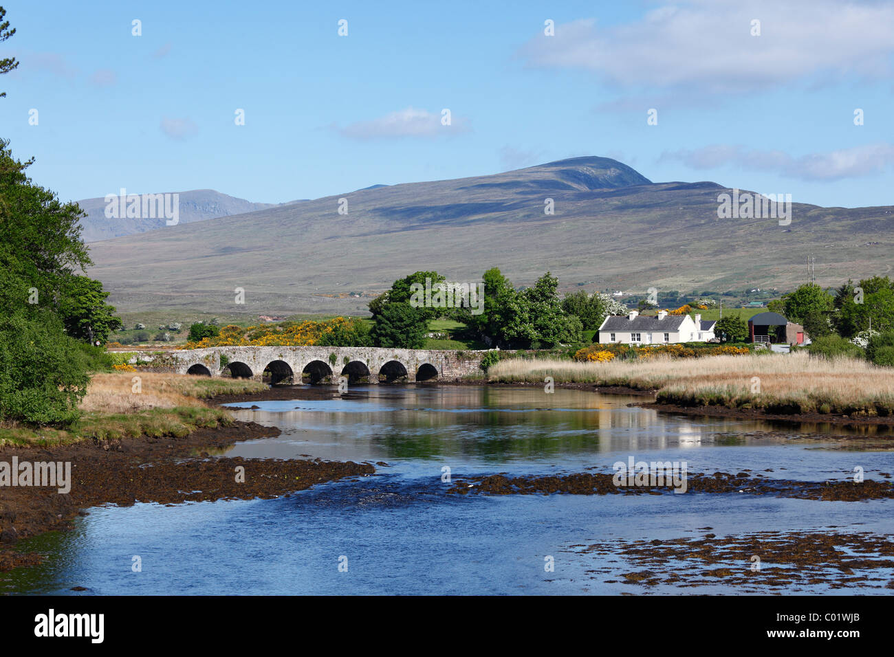
What is recorded here
Indicated is a lost circular enclosure in County Mayo, Ireland, recorded on an 1838 map and now levelled beneath low-lying pasture. Local tradition remembers it as a ringfort, yet no ridge, ditch or stone remains visible for anyone to touch. What is left is a shape in the land’s memory: a small circle that people once drew around their lives before the field swallowed it.
In low-lying pasture, on SE-facing slope. Marked on OS map (1838) as circular enclosure. Local tradition of ringfort. Levelled; no visible surface traces.
The above description has been derived from D. Lavelle (compiler), An Archaeological Survey of Ballinrobe and District including Lough Mask and Lough Carra. Lough Mask and Lough Carra Tourist Development Association (1994), No. 329.
Date of upload: 22 February 2013
The monument record does not grant public access. Check the route and ask the landowner before entering private land.
- What survives
- Recorded monument
Places near here
 Eel IslandIslet · 1380 yd
 Rough IslandIsland · 1.0 mi
 Church (in Ruins)Church · 1.2 mi
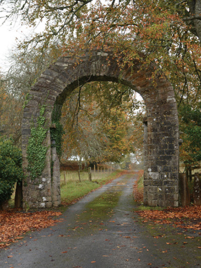 Partrygates/railings/walls · 1.2 mi
 TobercolumbkilleHoly well · 1.2 mi
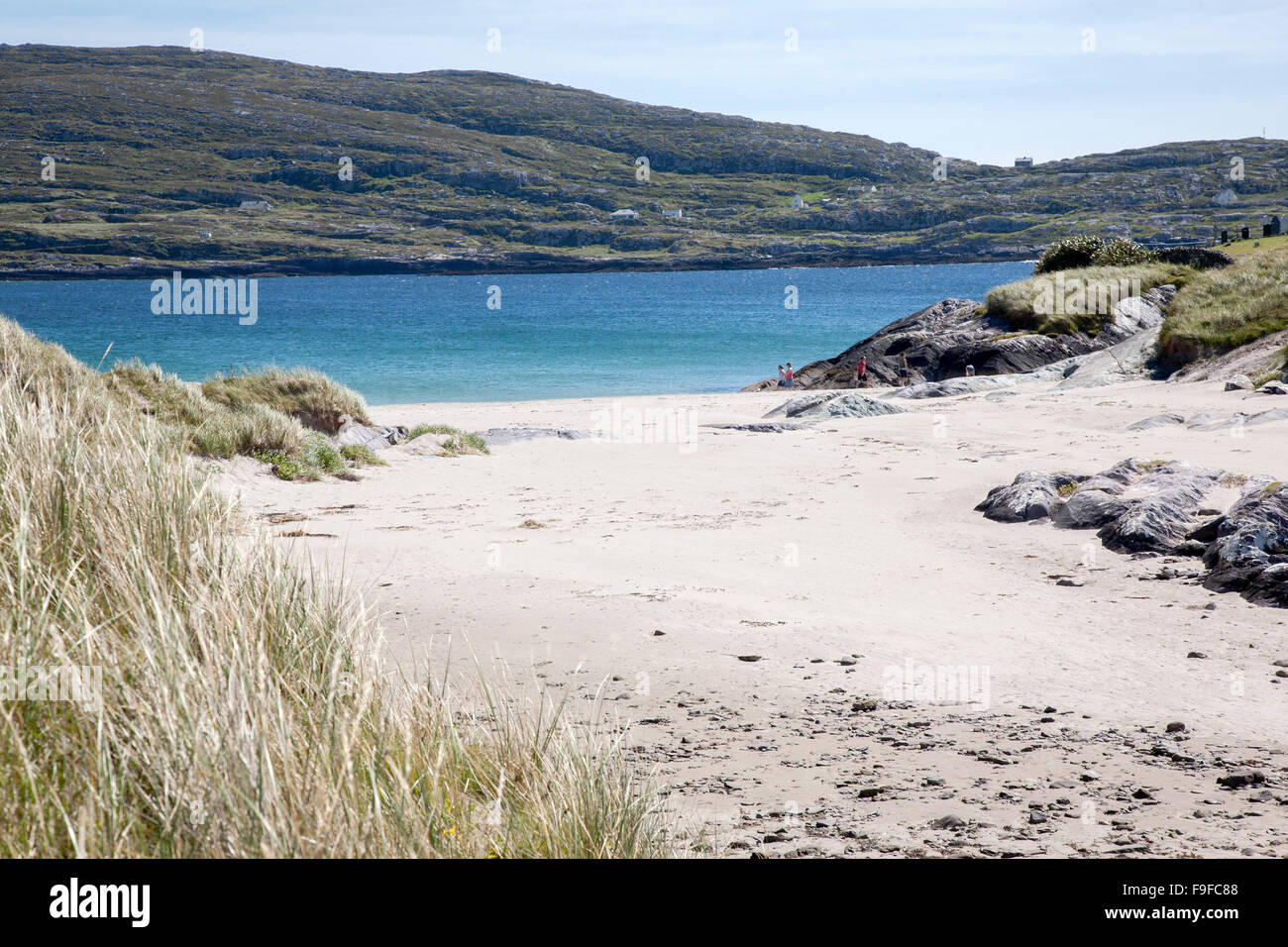 Sweathouse in Derrymore (kilmaine By.)Sweathouse · 1.4 mi
 Caislen-na-CirceCastle, tower house · 3.3 mi
 Devenish RocksNamed rock · 3.3 mi
 CarrigeenbaunNamed rock · 3.6 mi
 Coill Thuar Mhic ÉadaighWood · 3.7 mi
 Caislen-na-CailligheCastle, unclassified · 3.8 mi
 Moore Hall ForestForest · 4.1 mi
Other information
Photo: Credit not shown in the picture search · Rights wording not checked; contact us if this picture should be removed