What is recorded here
Carrigoon is a subcircular enclosure in North Cork, measuring fourteen by ten metres, visible today only as a yellow soil mark in undulating tillage. Local information identifies it as the site of a ringfort, though no wall or ditch remains for a stranger to touch. The land has been worked and rewritten until the fortress became a shadow, yet the shape still holds its own quiet boundary beneath the crops.
In undulating tillage. Subcircular area (14m NE-SW; 10m NW-SE) visible as yellow soil mark. According to local information, site of ringfort.
The above description is derived from the published 'Archaeological Inventory of County Cork. Volume 4: North Cork' (Dublin: Stationery Office, 2000). In certain instances the entries have been revised and updated in the light of recent research.
Date of upload/revision: 14 January 2009
The monument record does not grant public access. Check the route and ask the landowner before entering private land.
- What survives
- Recorded monument
Places near here
 Fulacht fia in CarrigoonFulacht fia · 249 yd
 The Garrisonstables · 605 yd
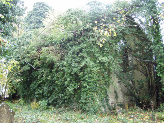 Rahan Churchchurch/chapel · 970 yd
 Grave YardGraveyard · 983 yd
 Lover's LeapCliff · 1594 yd
 Lover' LeapCliff · 1679 yd
 Mallow Town Park - Maple WoodsForest · 1.2 mi
 Mallow Castle HouseCastle · 1.6 mi
 Mallow Castle RuinRuins · 1.6 mi
 KnockarouraForest · 2.2 mi
 In loving memory of Elvis O'DonoghueMemorial · 2.3 mi
 Mallow River TrailVisitor information · 2.3 mi