What is recorded here
Indicated is a stony crannog beside Carrigeencor Lough in County Leitrim, Ireland. It measures about 12m across, rises 1m above the water, and shows no evidence of artificial construction. The lough stretches roughly 1.2km north-south and 300-400m east-west, placing the island 100m from its south shore and 150m from the east shore. With little vegetation and no visible works, it may have been a marker, refuge or forgotten household rather than a built island.
Situated c. 100m from the S shore of Carrigeencor Lough (dims c. 1.2km N-S; c. 300-400m E-W) and c. 150m from the E shore. This is a stony island (diam. 12m; H 1m) with little vegetation cover and no evidence of artificial construction.
The above description is derived from 'The Archaeological Inventory of County Leitrim' compiled by Michael J. Moore (Dublin: Stationery Office, 2003). In certain instances the entries have been revised and updated in the light of recent research.
Date of upload: 23 September 2008
The monument record does not grant public access. Check the route and ask the landowner before entering private land.
- What survives
- Recorded monument
Places near here
 Green IslandIslet · 472 yd
 Enclosure in KilcoosyEnclosure · 721 yd
 Kilcoosey National Schoolschool · 1434 yd
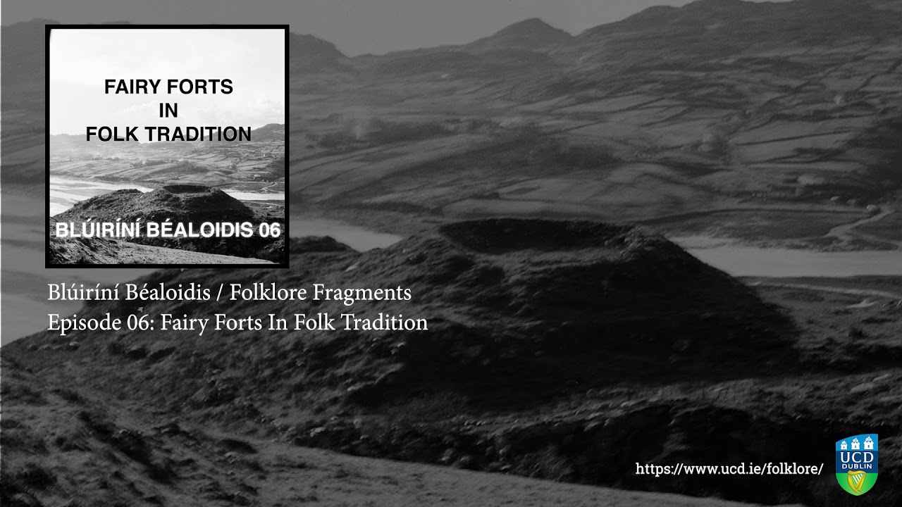 Fairy fort / earthen ringfort in SocksFairy fort / earthen ringfort · 1740 yd
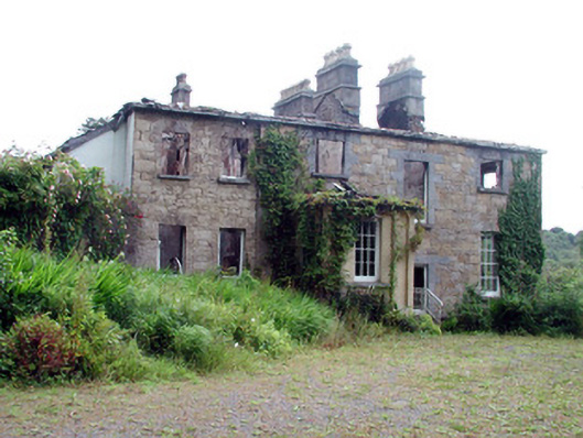 Drumlease Glebe Houserectory/glebe/vicarage/curate's house · 1.4 mi
 Old HallCastle, hall-house · 2.3 mi
 BenboMountain / peak · 2.8 mi
 Doonbran Isd.Bawn · 3.2 mi
 Parke's CastleHeritage attraction · 3.2 mi
 Cullentra ForestForest · 3.4 mi
 Trawane BayBay · 3.9 mi
 Giants RockNamed rock · 3.9 mi