What is recorded here
Embanked enclosure is a fairy fort or earthen ringfort in Carrigaun (hely), County Waterford, Ireland. It occupies a subcircular grass-covered area measuring 43.5 metres from northwest to southeast and 38 metres from northeast to southwest. An overgrown earthen bank defines the site, reaches up to 1.4 metres internally, and joins a field bank on the southwest.
Situated towards the top of the SE-facing slope of a hill. Subcircular grass-covered area (dims. 43.5m NW-SE; 38m NE-SW) defined by an overgrown earthen bank (Wth 4.5-6m; int. H 0.2m at W (downslope) to 1.4m at N; ext. H 1.1m at N to 1.3m at S) which is incorporated into a field bank S-W. There is no visible fosse or entrance.
The above description is derived from the published 'Archaeological Inventory of County Waterford' (Dublin: Stationery Office, 1999). In certain instances the entries have been revised and updated in the light of recent research.
Date of upload/revision: 23 December 2008
The monument record does not grant public access. Check the route and ask the landowner before entering private land.
- What survives
- Recorded monument
Places near here
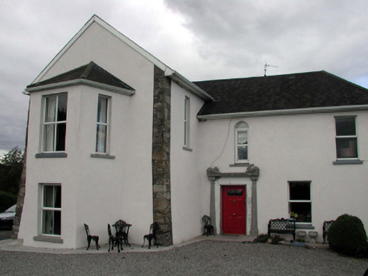 Mountain Castlehouse · 968 yd
 Mountain Castle Bridgebridge · 973 yd
 (Site of) Kilmaline R.C. ChapelChurch · 1350 yd
 (Site of) LisnagreeFairy fort / ringfort · 1440 yd
 Black HillMountain / peak · 2.4 mi
 Glenshelane Red WalkWalking route · 3.0 mi
 Coillte infoboardVisitor information · 3.0 mi
 Glenshelane WoodsForest · 3.1 mi
 Crow HillMountain / peak · 3.7 mi
 Sweet ChestnutSweet Chestnut · 3.8 mi
 WaterfallViewpoint · 3.8 mi