
What is recorded here
Cashel is a fairy fort or stone ringfort in Carricknahorna West, County Sligo, Ireland. It occupies a gently sloping terrace in the Bricklieve Mountains, where a substantial sod-covered stony bank encloses an oval grass-covered area. A gapped line of stones extends from the eastern wall toward the centre, while a small rocky ravine defines the southeastern edge of the terrace.
In rough upland grazing, on a gently sloping terrace at the base of an E-facing slope in the Bricklieve Mountains. The SE side of the terrace is defined by a small rocky ravine linking two upland valleys. An oval area (31.4m N-S; 24m E-W) enclosed by a substantial sod-covered stony bank (Wth 3m; int. H 0.9m; ext. H 0.25m). The interior is grass-covered and slopes gently down to E. Abutting the wall at NW, a level semicircular area (4m NW-SE; 3m NE-SW), open to SW, is defined N-SE by a low stony scarp (H 0.45m). A gapped line of sod-covered stones, probably a ruined wall, extends from the cashel wall at ESE for c. 9.6m to NW towards the centre of the interior. Towards its NW end is a perpendicular wall extending to S. A cairn (SL040-105---) lies c. 50m to ENE.
The above description is derived from the published 'Archaeological Inventory of County Sligo' compiled by Ursula Egan, Elizabeth Byrne, Mary Sleeman with Sheila Ronan and Connie Murphy (Dublin Stationery Office, 2005).
Date of upload: 18 January 2008
The monument record does not grant public access. Check the route and ask the landowner before entering private land.
- What survives
- Recorded monument
Places near here
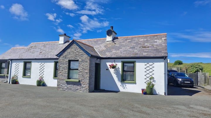 Not inidcatedEnclosure · 632 yd
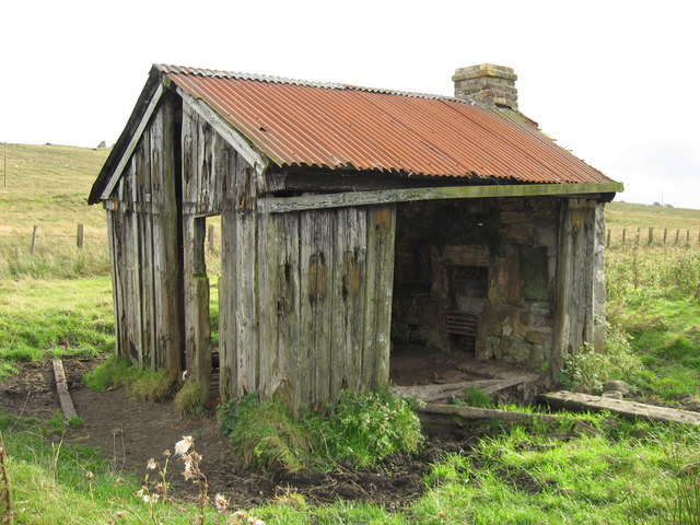 Hut site in BrougherHut site · 957 yd
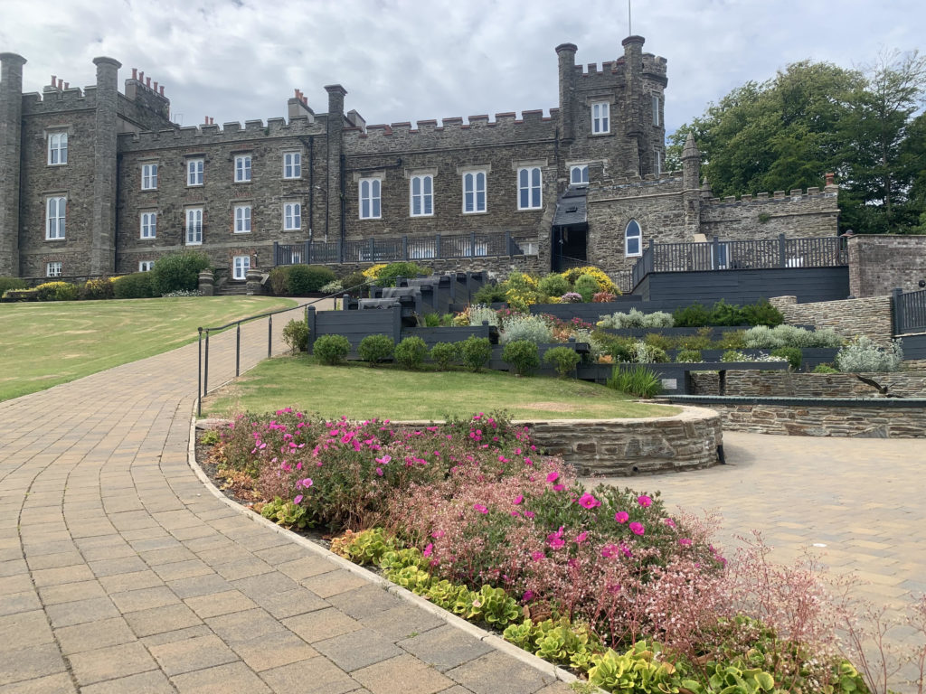 Nunnery (in Ruins)Religious house, unclassified · 1182 yd
 KilnKiln, lime · 1567 yd
 Carricknahorna EastMountain / peak · 1720 yd
 Bricklieve MountainsMountain / peak · 1.6 mi
 Ballinafad CastleCastle · 1.6 mi
 Treanscrabbagh caveCave · 1.7 mi
 Muck IslandIslet · 2.8 mi
 MoatCastle, motte · 3.2 mi
 Annaghgowla IslandIslet · 3.3 mi
 Battle of the Curlew Mountains (1599)Battlefield · 3.4 mi
Other information
Photo: Credit not shown in the picture search · Rights wording not checked; contact us if this picture should be removed