What is recorded here
On the summit of hill in undulating pastureland. This standing stone consists of a rectangular limestone slab (H 2.3m; base Wth 1.4m; T 0.5m), aligned E-W and inclined to S. It tapers towards the top. Overgrown boulders have been jammed against the base on its S side.
Compiled by: Galway Archaeological Survey, UCG
Date of upload: 18 December 2019
The monument record does not grant public access. Check the route and ask the landowner before entering private land.
- What survives
- Recorded monument
Places near here
 Church (in ruins)Church · 880 yd
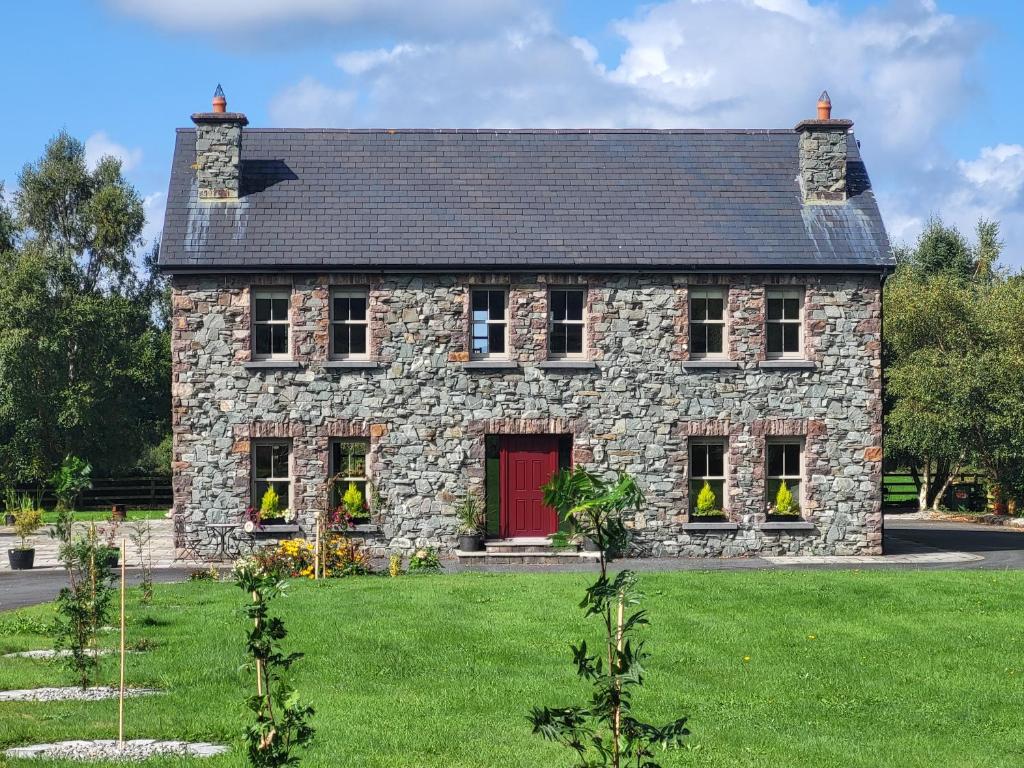 Country house in Carrowroe (marblehill Ed)Country house · 882 yd
 CaveMan-made underground passage · 1177 yd
 Fulacht fia in Ballynakill (leitrim By.)Fulacht fia · 1255 yd
 Site of CastleCastle, unclassified · 3.2 mi
 Coolfin Castle (in ruins)Castle, tower house · 3.5 mi
 Oak WoodForest · 4.5 mi
 Bog WoodForest · 4.6 mi
 TullymoreMountain / peak · 5.9 mi
 Friar's IslandIslet · 7.0 mi
 Abbey IslandIslet · 7.1 mi
 Stonyisland BayBay · 7.3 mi