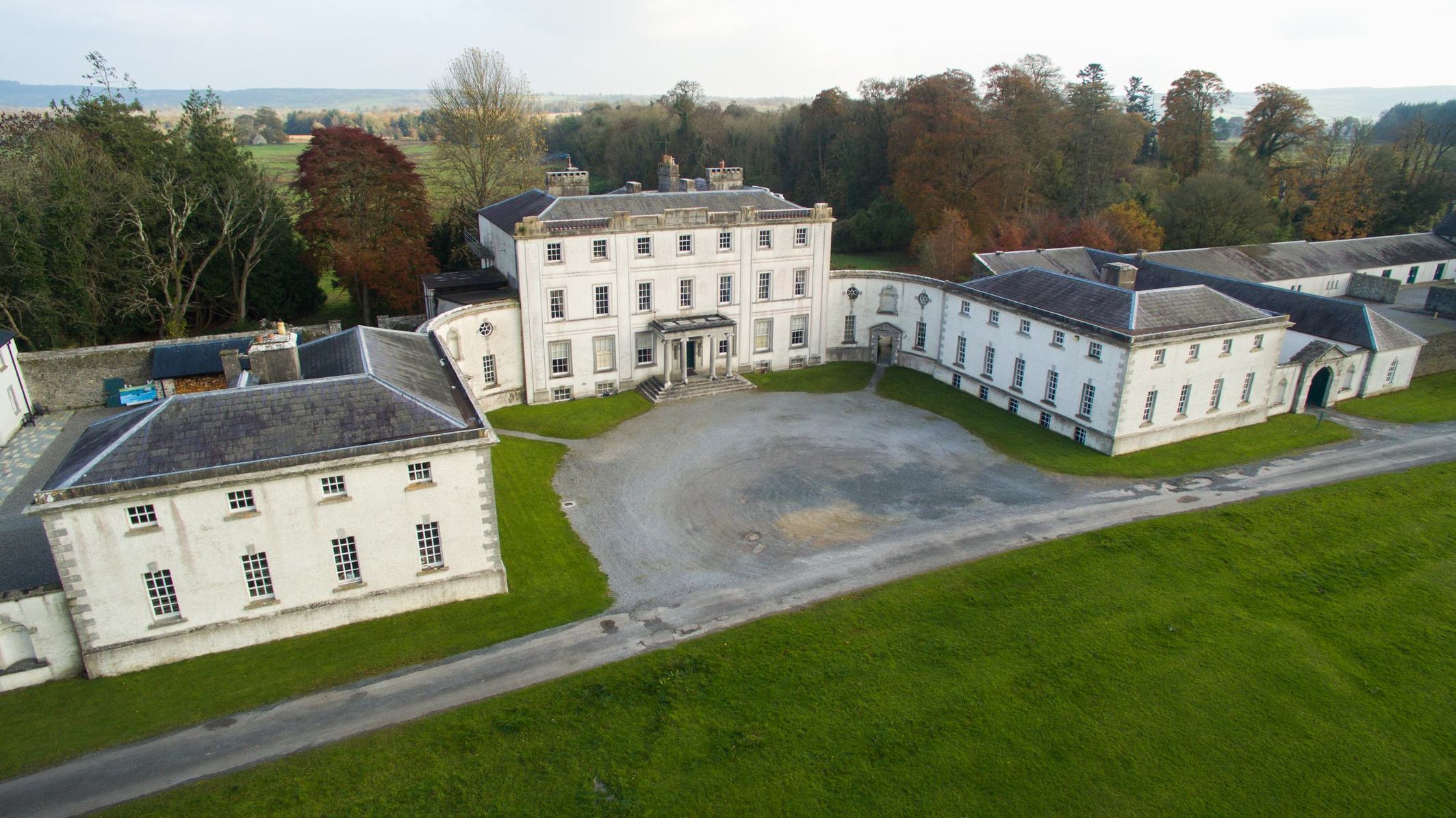
What is recorded here
On the broad summit and S-facing slope of the WNW-ESE Carnfree ridge. The field S of Carn Lamha (RO028-070----) of about 23 acres (c. 8 ha) contains field banks (Wth c. 2-3m; H 0.5-1m) of the large field system (RO028-056----) but also two house-sites of one room (ext. dims 12.4m x 5.8m) and two house-sties of two rooms (ext. dims 18m N-S; 6.8m), often with attached rectangular enclosures (dims 10m x 10m to 15m x 15m). The house (RO028-072002-) has two rooms with this enclosure or garden (int. dims 15m N-S; 13m E-W) attached to the N. This feature is only visible in drought conditions as parch-marks.
Compiled by: Michael Moore
Date of upload: 24 August 2010
The monument record does not grant public access. Check the route and ask the landowner before entering private land.
- What survives
- Recorded monument
Places near here
 Settlement cluster in CarnsSettlement cluster · 80 yd
 Enclosure in CarnsEnclosure · 160 yd
 RoadRoad, road/trackway · 662 yd
 KilnKiln, corn-drying · 735 yd
 ToberagullaSpring · 1.7 mi
 European ashEuropean ash · 1.7 mi
 Cruachan Aí Heritage CentreMuseum · 1.8 mi
 CastleCastle, unclassified · 1.9 mi
 CastlerubyCastle, unclassified · 2.6 mi
 HawthornHawthorn · 6.3 mi
 Roscommon CastleCastle · 8.6 mi
 Site of Killomaine Grave YardArchaeological place · 10 mi
Other information
Photo: Credit not shown in the picture search · Rights wording not checked; contact us if this picture should be removed