What is recorded here
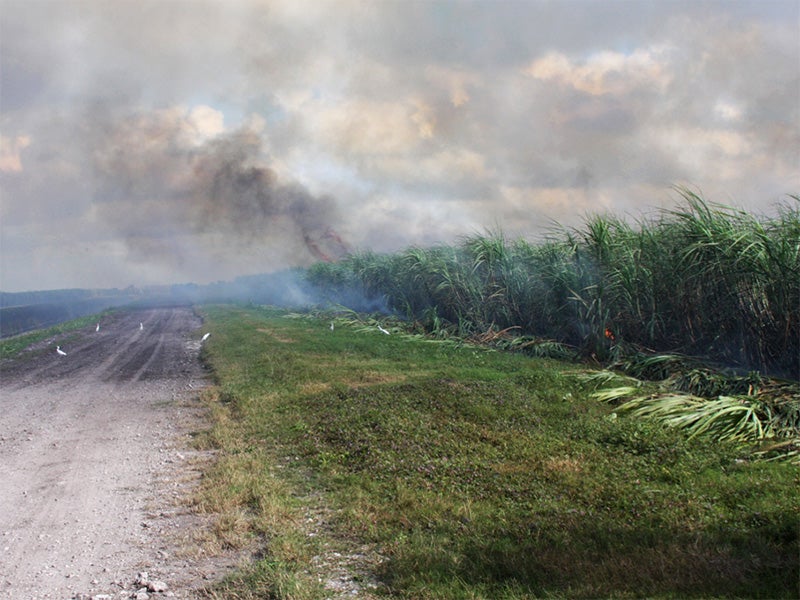
Carhoonoe holds a fifteen-metre scar of burnt material on an NNE-facing slope beside the Yellow River. A shallow spring emerges immediately north of the blackened earth, suggesting people once gathered where water and fire met. The distinction between accidental burning and deliberate ritual remains unclear, but the alignment of flame, water and slope hints at repeated human use rather than a single disaster.
In rough pasture, on a NNE-facing slope, to the SSW of the Yellow River. A spread (15m E-W; c. 9.7m N-S) of burnt material. A spring was noted in a hollow (D 1.3m) immediately N of the spread. (Castleisland District Archaeological Survey)
Compiled by: Elizabeth Byrne, Ursula Egan and Sheila Ronan, Archaeological Survey Unit, University College, Cork.
Date of upload: 31 January 2011
The monument record does not grant public access. Check the route and ask the landowner before entering private land.
- What survives
- Recorded monument
Places near here
 Quarry in Glencollins LowerQuarry · 1504 yd
 KilnKiln, lime · 1715 yd
 IndicatedEnclosure · 1.5 mi
 Fulacht fia in TooreenclassaghFulacht fia · 2.2 mi
 Barna BogForest · 3.4 mi
 Doctor's HillMountain / peak · 3.7 mi
 Nohaval WoodWood · 4.4 mi
 Mount EagleMountain / peak · 6.6 mi
 Site of Ardnagragh CastleCastle, unclassified · 6.9 mi
 Ardnacreach CastleCastle · 6.9 mi
 BarraduffMemorial · 7.9 mi
 Three CountiesPicnic place · 9.7 mi
Other information
Photo: Credit not shown in the picture search · Rights wording not checked; contact us if this picture should be removed