
What is recorded here
Indicated is a ruined stone ringfort on a gentle slope in County Galway, its collapsed wall still marking a broad circle before a field boundary cut through the memory. People may have lived inside that curve, watched weather arrive from the north, and left the stones standing after they departed. The fort has lost most of its shape, but the remaining arc still points back to human hands and the risk of opening a home to the world.
On a gentle N-facing slope. Poorly preserved subcircular cashel (diam. c. 61m) defined by a
collapsed drystone wall, best preserved from WSW through W to NNE. A field boundary overlies the enclosing element. (McCaffrey 1952, 190, no. 76a)
Compiled by: Galway Archaeological Survey, UCG
Date of upload: 19 January 2017
The monument record does not grant public access. Check the route and ask the landowner before entering private land.
- What survives
- Recorded monument
Places near here
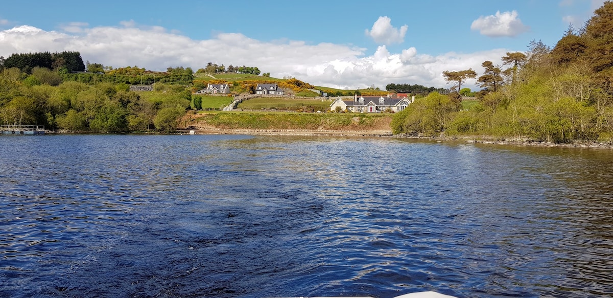 ParknarehooFairy fort / stone ringfort · 543 yd
 CaherweelderFairy fort / stone ringfort · 1034 yd
 Kiltiernan Church (in ruins)Church · 1476 yd
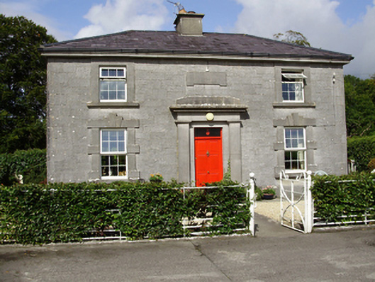 Castle Taylorsteward's house · 1.3 mi
 Dunkellin Castle (in ruins)Castle, tower house · 1.9 mi
 Castle (in ruins)Castle, Anglo-Norman masonry castle · 2.0 mi
 Drumharsna CastleHeritage attraction · 3.0 mi
 Kilcornan ForestWood · 3.3 mi
 Drumacoo Monastic SiteHeritage attraction · 3.5 mi
 Loughaun WoodWood · 3.9 mi
 MweenisharanIslet · 5.0 mi
 Goose IslandIslet · 7.6 mi
Other information
Photo: Credit not shown in the picture search · Rights wording not checked; contact us if this picture should be removed