What is recorded here
On a terrace on a heavily wooded, steep, S-facing hillslope within Glengarriff National Park. Recorded in 1993 as a circular area (diam. 11m) defined by the remains of an eroded bank (Wth 1m; H 0.25m) (pers. comm. Connie Murphy). A Man-made underground passage (CO090-032003-) and an enclosure (CO090-032002-) lie c. 40m and c. 80m to the E, respectively. The enclosure was not located in 2004 due to a thick undergrowth of rhododendrons in this wood.
The above description is derived from 'The Archaeological Inventory of County Cork. Volume 5' (Dublin: Stationery Office, 2009).
Date of upload: 22 December 2009
The monument record does not grant public access. Check the route and ask the landowner before entering private land.
- What survives
- Recorded monument
Places near here
 Man-made underground passage in CappyaughnaMan-made underground passage · 44 yd
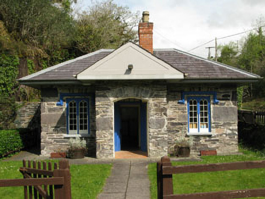 Glengarriff Nature Reservegate lodge · 263 yd
 Lady Bantry's LookoutViewpoint · 595 yd
 Sacred Heart Roman Catholic Churchchurch/chapel · 632 yd
 Graveyard in CappyaughnaGraveyard · 821 yd
 The Blue PoolHeritage attraction · 1153 yd
 Glengarriff WoodsWood · 1176 yd
 Man-made underground passage in CarrigrourMan-made underground passage · 1271 yd
 Tasmanian bluegumTasmanian bluegum · 1581 yd
 Friars IslandIslet · 1657 yd
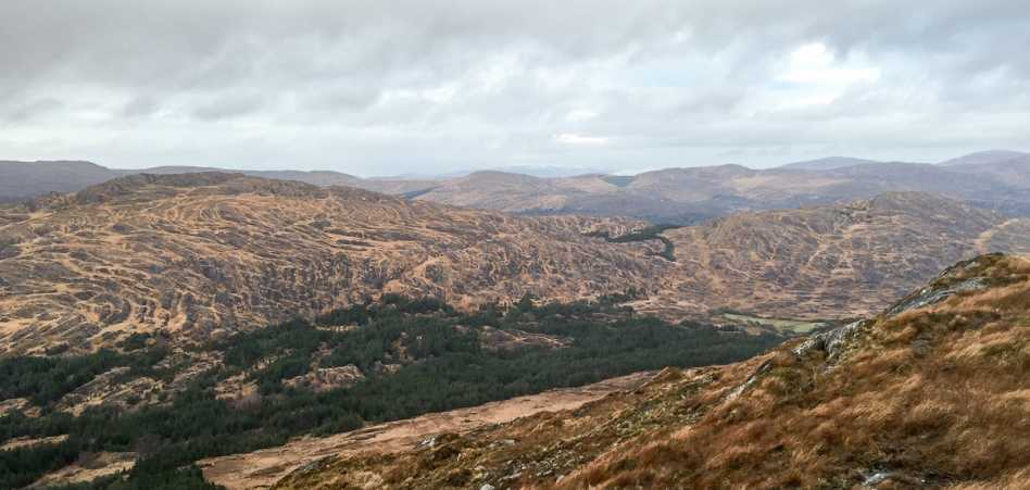 Shrone HillMountain / peak · 1.1 mi
 Calf IslandIslet · 1.2 mi