
What is recorded here
Tomb is a burial ground in Cappoquin Demesne, County Waterford, Ireland. The 1927 edition of the Ordnance Survey six-inch map marked it as a small triangular enclosure on a south-facing slope. That enclosure has since been removed, and the area is now used as a farmyard. Our Lady's Well lies about 100 metres to the northeast.
Marked only on the 1927 ed. of the OS 6-inch map as a small triangular enclosure situated on a S-facing slope. This has since been removed and the area is now used as a farmyard. Our Lady's Well (WA021-015----) is c. 100m to the NE.
The above description is derived from the published 'Archaeological Inventory of County Waterford' (Dublin: Stationery Office, 1999). In certain instances the entries have been revised and updated in the light of recent research.
Revised by: Michael Moore
Date of upload: 18 March 2011
The monument record does not grant public access. Check the route and ask the landowner before entering private land.
- What survives
- Recorded monument
Places near here
 IndicatedHoly well · 79 yd
 Cappoquin Ho.Castle, unclassified · 405 yd
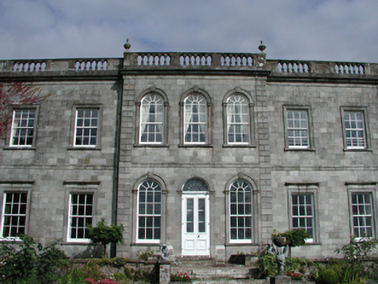 Cappoquin Housecountry house · 425 yd
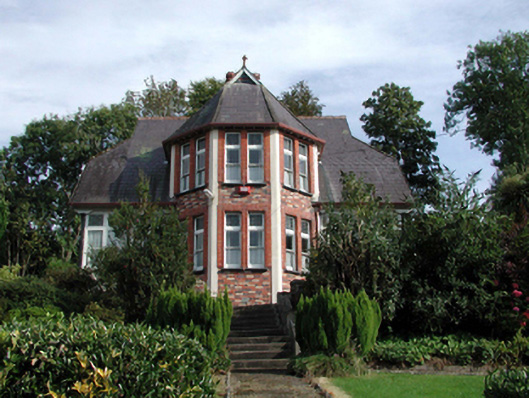 The Presbyterypresbytery/parochial/curate's house · 591 yd
 Sweet ChestnutSweet Chestnut · 650 yd
 Glenshelane WoodsWood · 1629 yd
 WaterfallViewpoint · 1664 yd
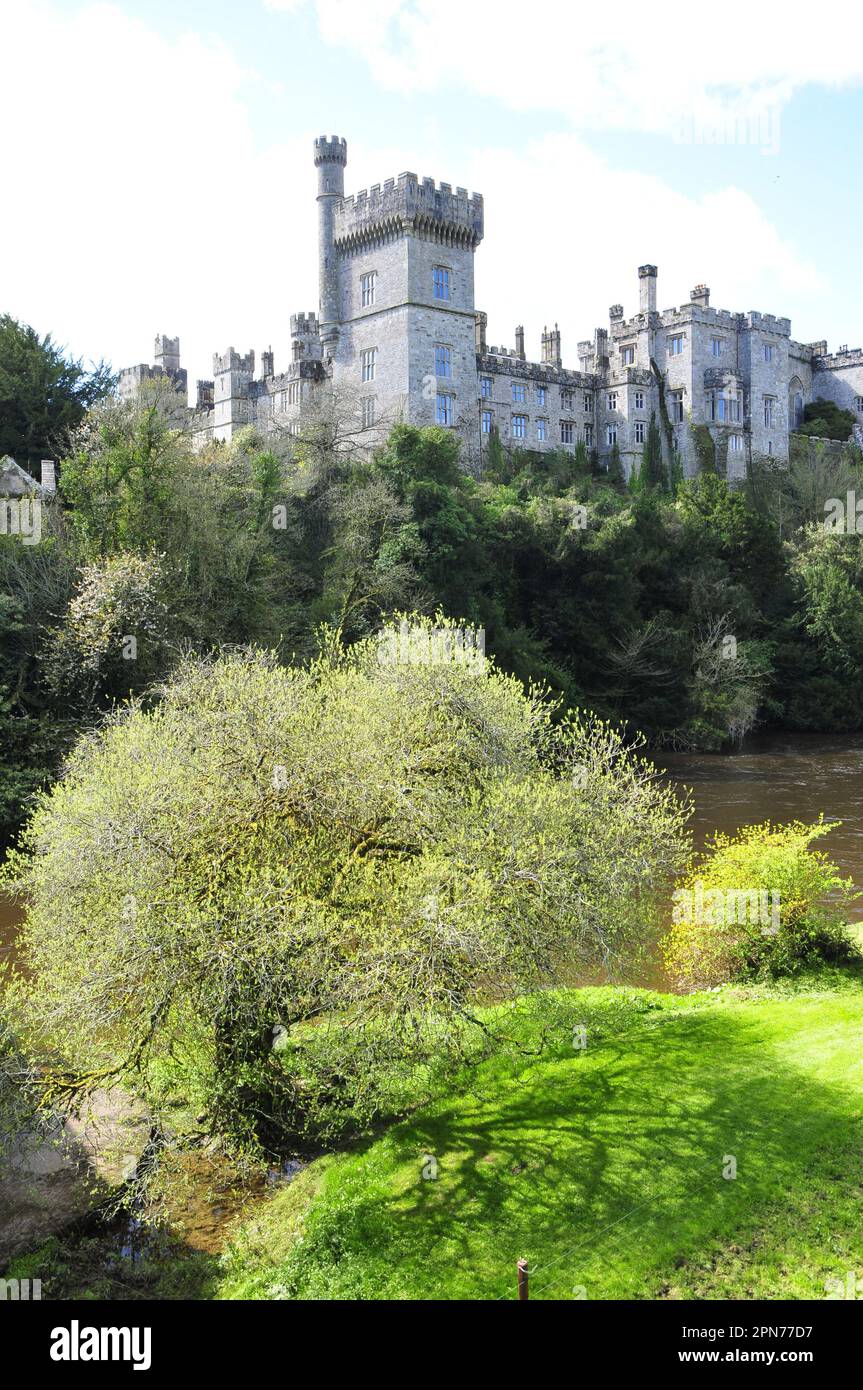 Embanked enclosureFairy fort / ringfort · 1723 yd
 Coillte infoboardVisitor information · 1.0 mi
 Glenshelane Red WalkWalking route · 1.3 mi
 CastleCastle, unclassified · 1.9 mi
Other information
Photo: Credit not shown in the picture search · Rights wording not checked; contact us if this picture should be removed