What is recorded here
Indicated is a graveyard in County Kildare where plain stones mark most burials south of its church. The low mortared wall and remaining earthen bank suggest an older ecclesiastical enclosure beneath the present pasture edge. Three dated headstones near the south wall place continuous mourning there through the 18th and 19th centuries.
In open, level, improved pasture c. 20m W of a steep, modern embankment bordering the SW-flowing Slate River. A sub-rectangular area (dims. L c. 70m NW-SE; Wth c. 50m) is enclosed by a low, mortared stone wall (T 0.6m) and contains a church (KD017-007----) to SE of centre, to the S of which the majority of burials occur; marked by small, plain stones. Three headstones near the S wall date to the 18th and 19th c. Along the N and E, the enclosing wall retains an earthen bank which may be the remains of an earlier, ecclesiastical enclosure (KD017-007002-).
Compiled by: Gearóid Conroy
Date of upload: 10 June 2011
The monument record does not grant public access. Check the route and ask the landowner before entering private land.
- What survives
- Recorded monument
Places near here
 Cappanargid Church (in ruins)Church · 9 yd
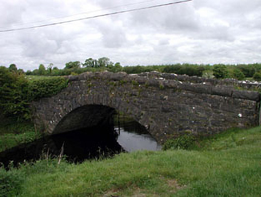 Agar Bridgebridge · 538 yd
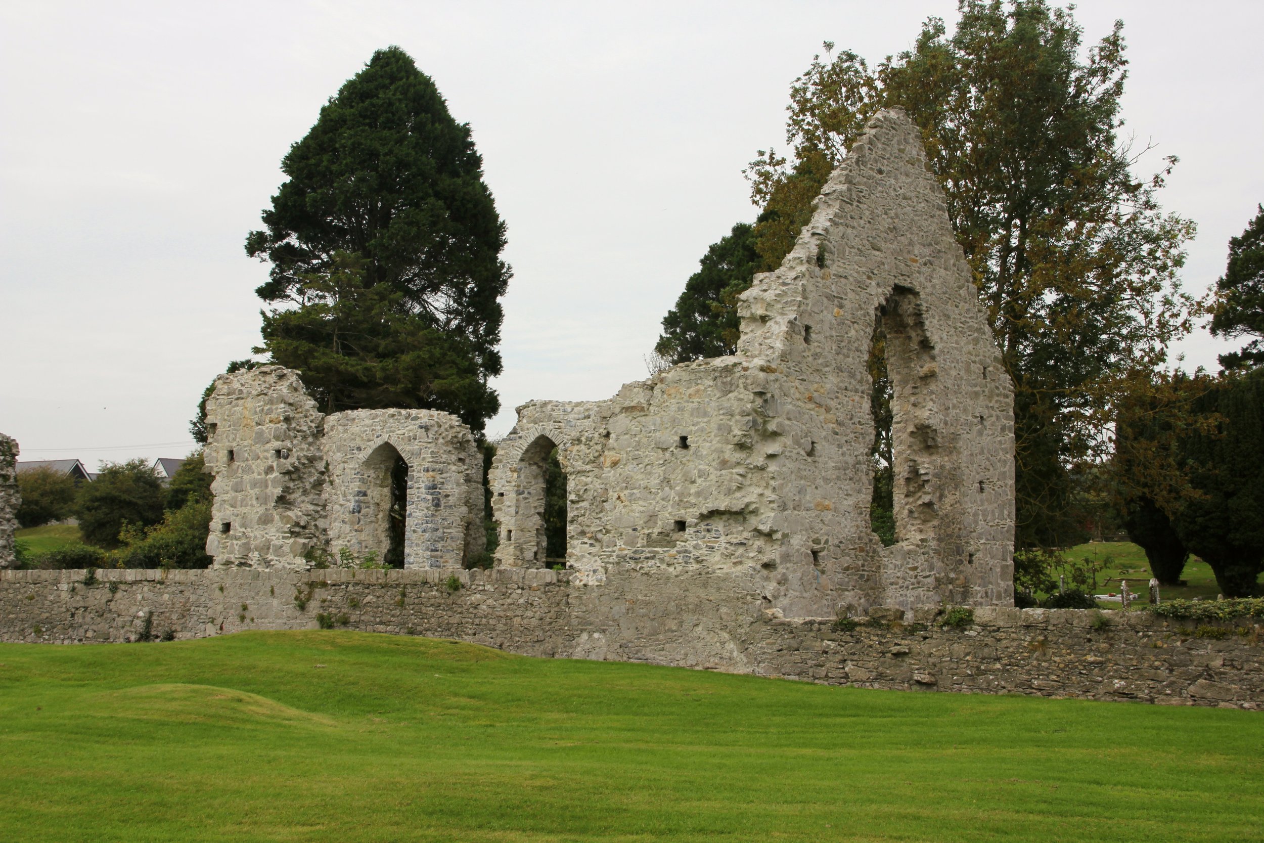 Site of Cloncurry ChurchChurch · 773 yd
 Enclosure in Cloncurry (offaly East By., Cloncurry Ed)Enclosure · 1228 yd
 Killinthomas Wood (Rathangan)Wood · 2.0 mi
 Bithia Mary CrokerMemorial · 2.2 mi
 The Fairy BowerHeritage attraction · 2.2 mi
 Lullymore Heritage ParkHeritage attraction · 2.2 mi
 Foran's WoodForest · 2.3 mi
 Site of CastleCastle, tower house · 2.4 mi
 Chair of KildareCastle, unclassified · 2.8 mi
 Grand Canal WayVisitor information · 6.1 mi