What is recorded here
In open, level, improved pasture c. 20m W of a steep, modern embankment bordering the SW-flowing Slate River. A sub-rectangular area (dims. L c. 70m NW-SE; Wth c. 50m) is enclosed by a low, mortared stone wall (T 0.6m) and contains a church (KD017-007----) to SE of centre, to the S of which the majority of burials occur; marked by small, plain stones. Three headstones near the S wall date to the 18th and 19th c. Along the N and E, the enclosing wall retains an earthen bank which may be the remains of an earlier, ecclesiastical enclosure (KD017-007002-).
Compiled by: Gearóid Conroy
Date of upload: 10 June 2011
The monument record does not grant public access. Check the route and ask the landowner before entering private land.
- What survives
- Recorded monument
Places near here
 Cappanargid Church (in ruins)Church · 9 yd
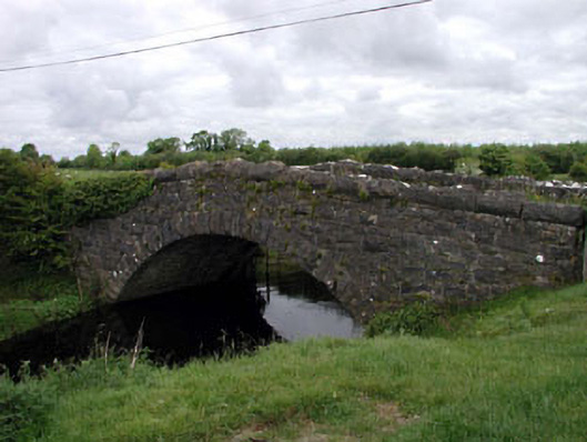 Agar Bridgebridge · 538 yd
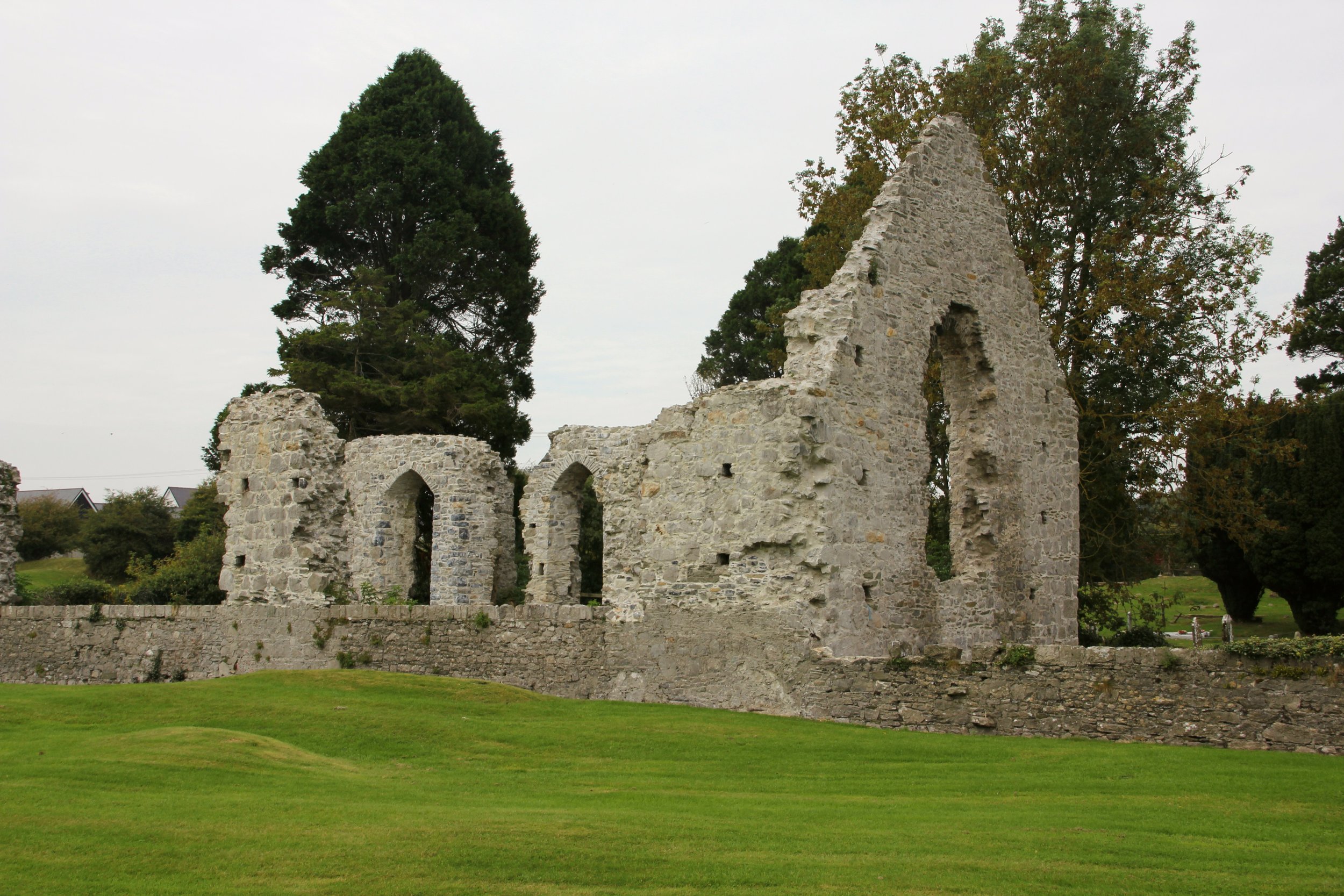 Site of Cloncurry ChurchChurch · 773 yd
 Enclosure in Cloncurry (offaly East By., Cloncurry Ed)Enclosure · 1228 yd
 Killinthomas Wood (Rathangan)Wood · 2.0 mi
 Bithia Mary CrokerMemorial · 2.2 mi
 The Fairy BowerHeritage attraction · 2.2 mi
 Lullymore Heritage ParkHeritage attraction · 2.2 mi
 Foran's WoodForest · 2.3 mi
 Site of CastleCastle, tower house · 2.4 mi
 Chair of KildareCastle, unclassified · 2.8 mi
 Grand Canal WayVisitor information · 6.1 mi