What is recorded here
Indicated is a large, poorly preserved fairy fort at the bottom of a gentle Kildare slope, overlooking the Slate River two hundred metres south. Its low earthen bank and shallow fosse have been recut into field drains and boundaries, while livestock have poached the western interior. The central area remains level and distinct, suggesting the ring still shapes the land even though its original edges have blurred into ordinary farming.
At the bottom of a low, gentle, S-facing pasture slope overlooking the SW-flowing Slate River c. 200m to the S. A large, poorly preserved, sub-circular area (int. diams. 48m N-S; 45m E-W) is defined by a low earthen bank (Wth 1.8m; int H 0.4m; ext H1-1.7m) SE-SW-NNW, which is hedged as a field boundary, and by a shallow outer fosse (Wth 1-2.5m; D 0.2-1.1m). The fosse is recut as a later field drain outside the bank and later field banks radiate off the monument at SE and NW. The interior is heavily poached by livestock at W and rises gently towards a level sub-circular, central area (diams. 16m E-W; 13 m N-S).
Compiled by: Gearóid Conroy
Date of upload: 10 June 2011
The monument record does not grant public access. Check the route and ask the landowner before entering private land.
- What survives
- Recorded monument
Places near here
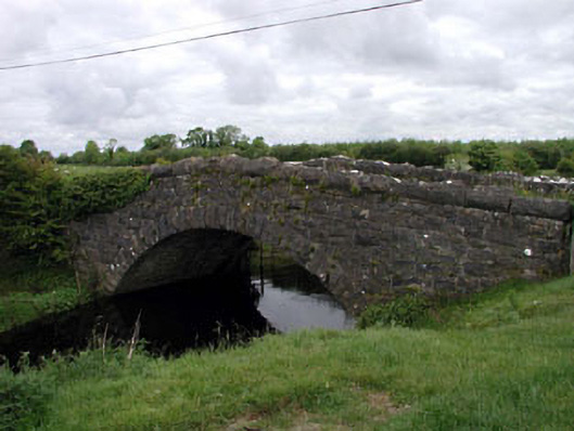 Agar Bridgebridge · 890 yd
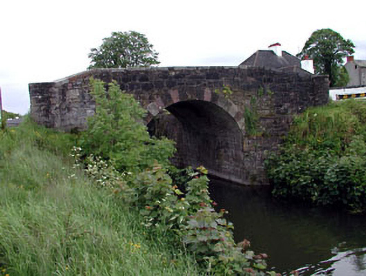 Glenaree Bridge and 22nd Lockbridge · 922 yd
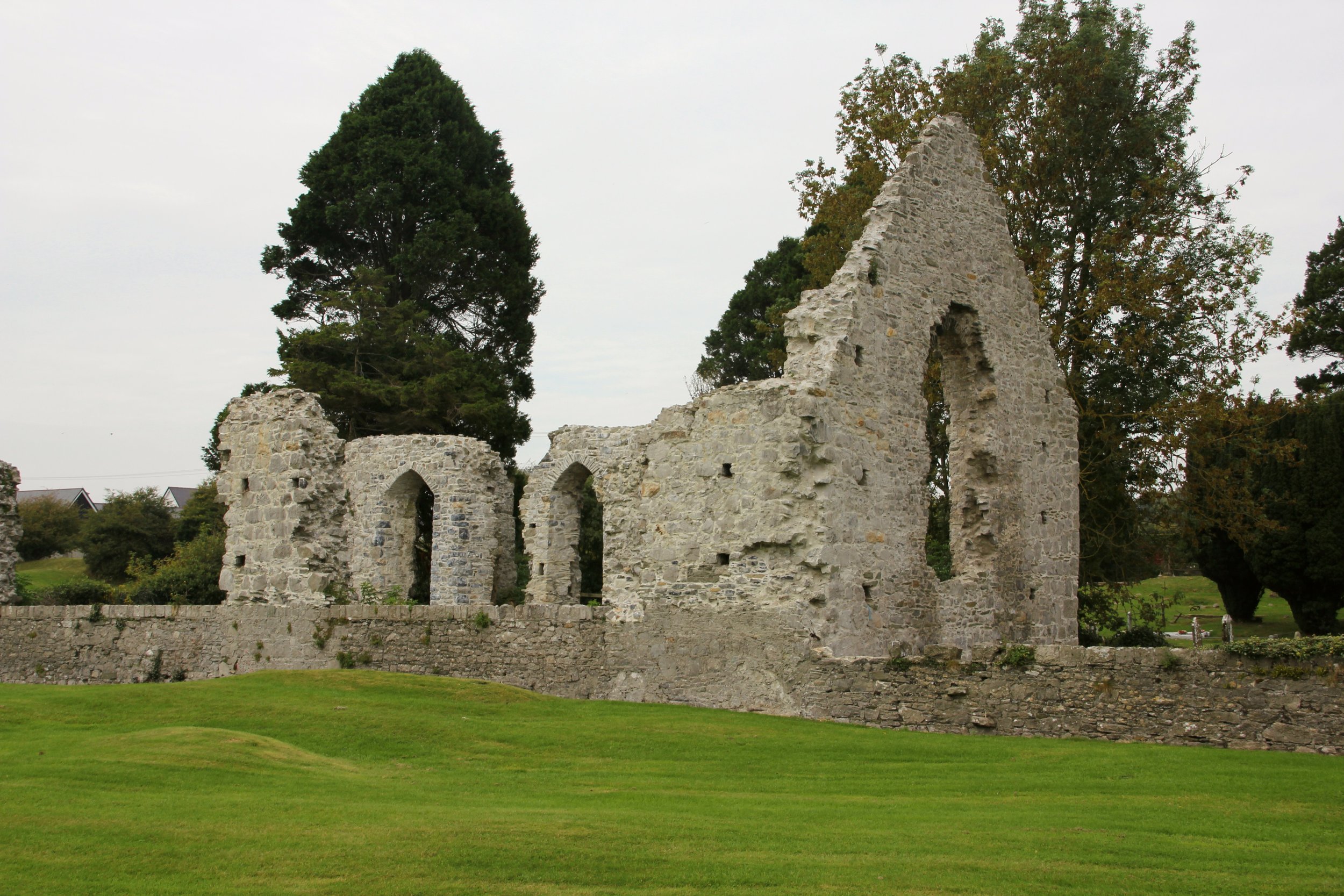 Site of Cloncurry ChurchChurch · 1472 yd
 Enclosure in Cloncurry (offaly East By., Cloncurry Ed)Enclosure · 1518 yd
 Lullymore Heritage ParkHeritage attraction · 1.7 mi
 The Fairy BowerHeritage attraction · 1.7 mi
 Foran's WoodForest · 1.7 mi
 Killinthomas Wood (Rathangan)Wood · 2.6 mi
 Bithia Mary CrokerMemorial · 2.9 mi
 Site of CastleCastle, tower house · 3.2 mi
 Chair of KildareCastle, unclassified · 3.2 mi
 Grand Canal WayVisitor information · 5.4 mi