What is recorded here
This was formerly classed as 'well' in the SMR (1990) and the RMP (1997). The source of this information appears to be the 1846 OS 6-inch map where two circular features are depicted within the enclosure (KE092-032----). On closer inspection of the first edition (1846) OS 6-inch map, the feature at the SW appears to be the symbol used for a limekiln. This possible limekiln has been assigned this SMR number KE092-032003-. The second feature, located towards the centre of the enclosure appears to be a possible hut site and has been assigned this SMR record (KE092-032001-). According to the Iveragh Survey Peninsula entry (no. 788), there was no surface trace of either of these features. (O'Sullivan and Sheehan 1996, 218, no. 788)
Compiled by: Elizabeth Byrne, Ursula Egan and Sheila Ronan, Archaeological Survey Unit, University College, Cork.
Date of upload: 30 May 2011
The monument record does not grant public access. Check the route and ask the landowner before entering private land.
- What survives
- Recorded monument
Places near here
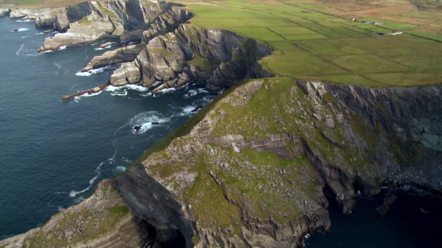 Indicated (1846).Enclosure · 10 yd
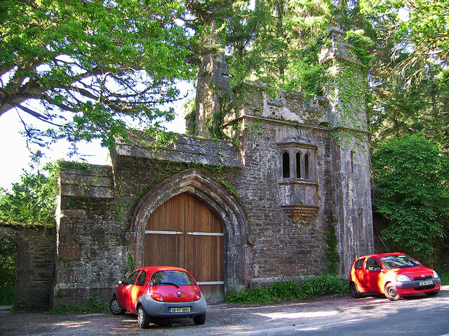 Dromore Castlegate lodge · 166 yd
 Owing (Site of)Fairy fort / earthen ringfort · 597 yd
 Cappanacush Castle (ruins)Castle · 664 yd
 Templenoe Churchchurch/chapel · 1142 yd
 Coss StrandBeach / strand · 1550 yd
 Lackeen PointHeadland · 2.1 mi
 Dinish IslandIslet · 2.2 mi
 Dunkerron Island WestIslet · 2.5 mi
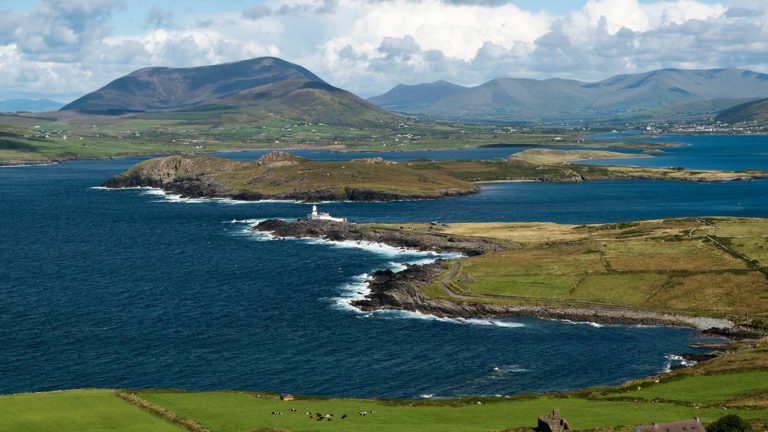 Letter SouthMountain / peak · 3.2 mi
 Dunkerron CastleCastle · 3.5 mi
 Feorus EastMountain / peak · 3.5 mi