What is recorded here
Aerial photograph (GB90.BL.08) shows cropmark of a circular enclosure defined by a fosse and with an entrance facing north-east. First recorded as a positive cropmark in July 1990. This enclosure is clearly visible on the aerial orthophotos on the OSI website - dated 2000. It is also faintly visible on the ASI website aerial coverage.
The above report has been compiled by Dr. G.F. Barrett and supplied to the Archaeological Survey of Ireland.
Date of this report: 03 December 2009
Compiled by Caimin O'Brien
Date of upload / revision : 13 August 2010
The monument record does not grant public access. Check the route and ask the landowner before entering private land.
- What survives
- Recorded monument
Places near here
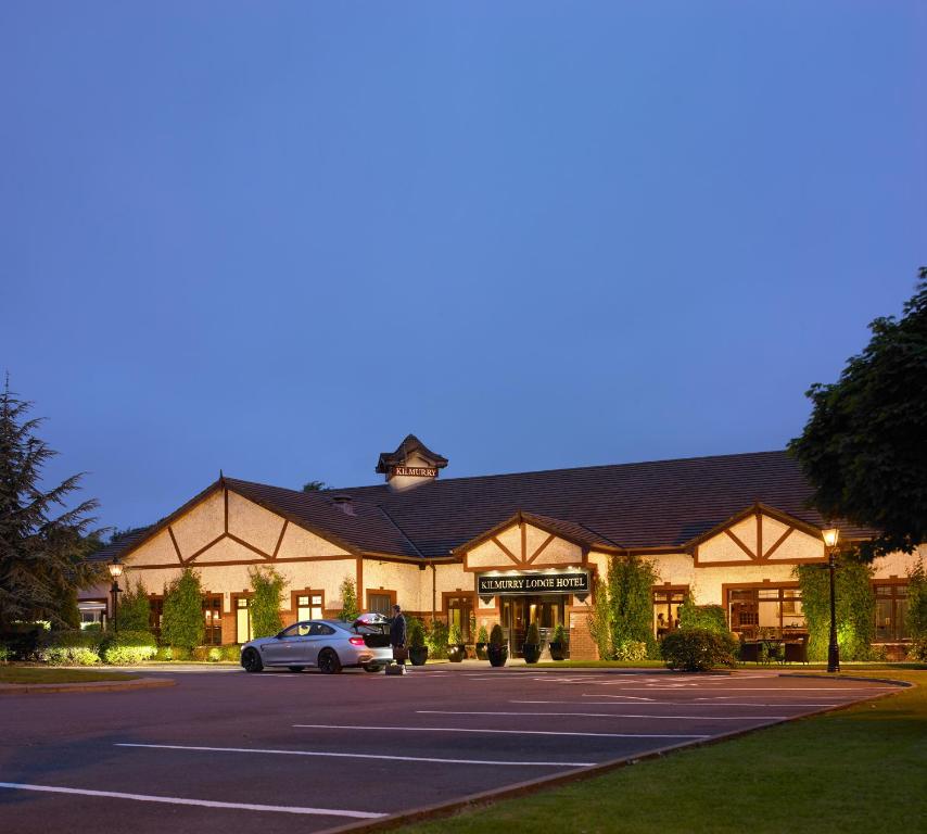 Enclosure in KilmurryEnclosure · 1676 yd
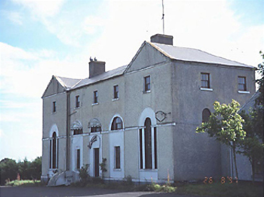 New Inn Housecoaching inn · 1.3 mi
 Enclosure in MorettEnclosure · 1.5 mi
 Church (in Ruins)Church · 1.6 mi
 Morett Castle (in ruins)House, fortified house · 1.7 mi
 OutlinedCastle, unclassified · 1.8 mi
 European YewEuropean Yew · 2.3 mi
 Giant SequoiaGiant Sequoia · 2.5 mi
 Emo CourtHeritage attraction · 2.5 mi
 Church (in Ruins), GraveyardChurch · 4.1 mi
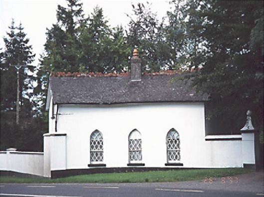 Ashfield Housegate lodge · 1.6 mi
 Morett Church (in Ruins)Church · 1.7 mi