What is recorded here
Ten thousand years of rain have not moved the two stones on the Owvane slope. One leans south like a tired sentry, the other waits with a broken top, neither asking to be explained. They are not a gateway, a tomb or a monument to a named king. They are a pair of marks made by human hands, still standing where the bog forgot to swallow them.
On bog-covered slope which forms W side of valley on Owvane river. Stones, aligned NE-SW, stand 1.4m apart; overall length is 3.75m. NE stone is 0.85m L, 0.1m T, 0.55m H. Top appears to be broken. SW stone leans to S. It is 1.6m L, 0.25m T and 1.8m H. Four-poster monument (CO092-00804-) stands c. 10m down slope to E; some 200m further on is radial stone enclosure (CO092-00901-). (Ó Nualláin 1988, 245, no. 11).
The above description is derived from the published 'Archaeological Inventory of County Cork. Volume 1: West Cork' (Dublin: Stationery Office, 1992). In certain instances the entries have been revised and updated in the light of recent research.
Date of upload/revision: 14 January 2009
Likely dates to the Neolithic or Bronze Age, given the alignment and positioning typical of ritual or waymarking monuments. Its purpose may have been ceremonial or to mark a territorial boundary, though local folklore is not recorded.
The monument record does not grant public access. Check the route and ask the landowner before entering private land.
- What survives
- Recorded monument
Places near here
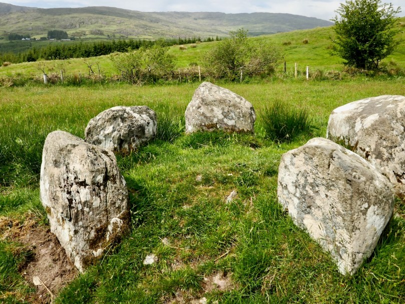 Stone CircleRadial-stone enclosure · 383 yd
 Burial ground in Cappaboy BegBurial ground · 498 yd
 Douce MountainMountain / peak · 1.9 mi
 Doughill MountainMountain / peak · 2.2 mi
 St Finbarr's Pilgrim RouteWalking route · 2.4 mi
 MillMill, fulling · 2.8 mi
 Carding MillMill, carding · 2.8 mi
 Gougane BarraValley and heritage place · 3.5 mi
 European ashEuropean ash · 3.6 mi
 Carriganass CastleCastle · 3.7 mi
 Kealkill stone circleVisitor information · 3.9 mi
 CaoinkeenCliff · 5.7 mi