What is recorded here
Enclosure in Cant is an invisible 34-by-31-metre oval on a low Clare rise, mapped consistently but erased from local memory before the 1980s. It faces a steep eastern slope above a narrow north-south valley, while pasture now covers the boundary that once shaped the land. The nearby settlement and field suggest people lived beside it, perhaps using it for keeping animals, storing things or marking a boundary they no longer remember.
On a low rise, having a steep E-facing slope where there is a small valley (long-axis N-S), in improved gently undulating pasture. Not visible at ground level. Depicted on all historic OS mapping as an oval area (34m N-S; 31m E-W) defined by a single enclosing element. A small field and settlement is shown adjoining to S. According to local information this land was intensively improved sometime prior to the 1980s. Enclosure (CL035-095----) is c. 65m to ENE.
Compiled by: Mary Tunney, Alison McQueen and Vera Rahilly
Date of upload: 14 March 2018
The monument record does not grant public access. Check the route and ask the landowner before entering private land.
- What survives
- Recorded monument
Places near here
 Castle in ruinsCastle, unclassified · 550 yd
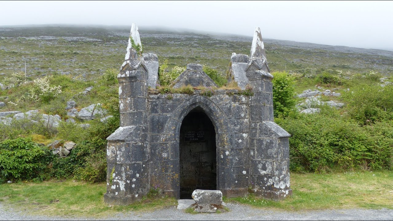 Enclosure in Cloonaherna,gorteen (dangan Ed)Enclosure · 706 yd
 Enclosure in Deerpark NorthEnclosure · 823 yd
 The RingfortHeritage attraction · 1121 yd
 CraggaunowenNationally known place · 1257 yd
 Craggaunowen CastleCastle, tower house · 1265 yd
 Cloghleagh RockNamed rock · 1294 yd
 Cullan Castlecountry house · 1337 yd
 Shankill Church (in ruins)Church · 1639 yd
 islandWood · 3.8 mi
 Mooghaun WoodsWood · 4.4 mi
 Mass RockMemorial · 5.1 mi