What is recorded here
Partially outlined is a mound in Calliaghstown (rathconrath By.), County Westmeath, Ireland. The 1914 edition of the Ordnance Survey six-inch map depicts this long narrow mound with an approximate diameter of 35 metres on a northwest to southeast axis and 7 metres on a northeast to southwest axis. It sits on a steep natural hillock surrounded by woodland and overlooking the Tang River 30 metres to the north, though no surface remains are visible on the gravel hill, parts of which have been quarried away.
Situated on a steep natural hillock surrounded by woodland overlooking the Tang River 30m to N. No monument or any antiquity is marked at this location on the 1838 ed. OS 6-inch map which shows a D-shaped woodland plantation in this area. Depicted on the 1914 ed. OS 6-inch map as a long narrow mound (approx. diam. 35m NW-SE; 7m NE-SW). An area of free of woodland plantation has been kept around this earthwork which is visible on Digital Globe aerial photograph. No surface remains visible of monument which was located in a steep gravel hill parts of which have been quarried away.
Compiled by: Frank Coyne and Caimin O'Brien
Date of upload: 11 September 2018
The monument record does not grant public access. Check the route and ask the landowner before entering private land.
- What survives
- Recorded monument
Places near here
 Keel Bridgebridge · 198 yd
 Man-made underground passage in Calliaghstown (rathconrath By.)Man-made underground passage · 887 yd
 Field system in Ardnacrany NorthField system · 1103 yd
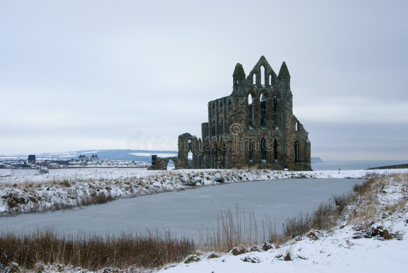 AbbeyReligious house, Carmelite friars · 1390 yd
 Noughaval CemeteryArchaeological place · 1.8 mi
 European BeechEuropean Beech · 2.2 mi
 Guest ServicesVisitor information · 2.4 mi
 Craft WorkshopHeritage attraction · 2.4 mi
 Ballymulvey Ho.Castle, unclassified · 2.5 mi
 Target WoodWood · 2.5 mi
 Newcastle WoodsForest · 2.8 mi
 Goldsmith Birthplace, PallasVisitor information · 3.0 mi