What is recorded here
According to Price (1934, 50) there is ‘a cairn of stones and earth, with trees growing on it, in the townland of Money Upper; it is locally called the Mote, and is 64 paces in circumference and 9 feet [2.7m] high. It has the appearance of a prehistoric burial cairn, and does not look as if it had been disturbed’. The precise location of this monument is unknown.
Compiled by: Jean Farrelly
Date of upload: 05 October 2012
A Neolithic cairn; likely dates to the Early to Middle Bronze Age. Its size and presence of trees suggest long-term natural and cultural continuity, though specific archaeological significance remains undocumented.
The monument record does not grant public access. Check the route and ask the landowner before entering private land.
- What survives
- Recorded monument
Places near here
 Enclosure in Money UpperEnclosure · 314 yd
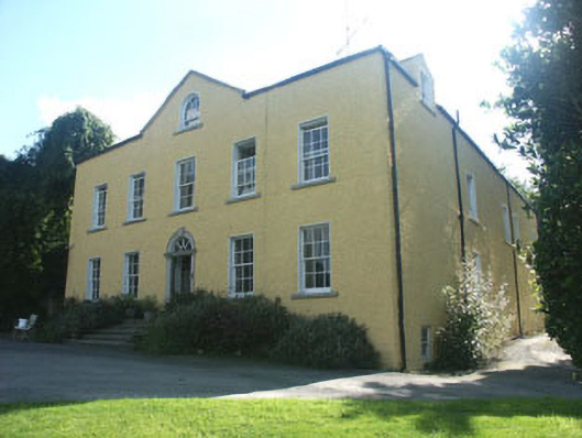 Money Housecountry house · 461 yd
 SycamoreSycamore · 603 yd
 European BeechEuropean Beech · 620 yd
 IndicatedEnclosure · 950 yd
 Aghowle Church (in Ruins)Church · 1439 yd
 CastleCastle, motte and bailey · 2.7 mi
 Church (in ruins), GraveyardChurch · 3.8 mi
 Altamont House and GardensHeritage attraction · 3.8 mi
 Altamont Gardens MapVisitor information · 3.9 mi
 Clonogan Castle (site of)Castle, unclassified · 3.9 mi
 Ballynultagh HillMountain / peak · 4.3 mi