What is recorded here
Páirc na Leacht' takes its name from two cairns that reportedly marked the graves of English soldiers, yet those cairns have vanished. A local owner later uncovered upright stones near the field boundary that resembled grave-markers before covering them again. The stones may be markers, cairn fragments or ordinary boundary stones, but the field still carries the weight of a buried conflict.
Páirc na Leacht' is named from 2 cairns which reputedly covered the graves of 2 English soldiers (An Seabhac 1939, 204). These are not now visible but, near the E end of the N field boundary, the landowner recently uncovered 3 or 4 upright stones standing .5 to .6m high and 1 to 2m apart. These he suggested resembled grave-markers; they have been covered over and neither their archaeological significance nor their relationship to the cairns is clear.
The above description is derived from J. Cuppage, ‘Corca Dhuibhne. Dingle Peninsula archaeological survey. Ballyferriter. Oidhreacht Chorca Dhuibhne’ (1986), no. 206. In certain instances the entries have been revised and updated in the light of recent research.
Date of upload: 4 August 2013
The monument record does not grant public access. Check the route and ask the landowner before entering private land.
- What survives
- Recorded monument
Places near here
 Church in LackChurch · 497 yd
 KilnKiln, corn-drying · 689 yd
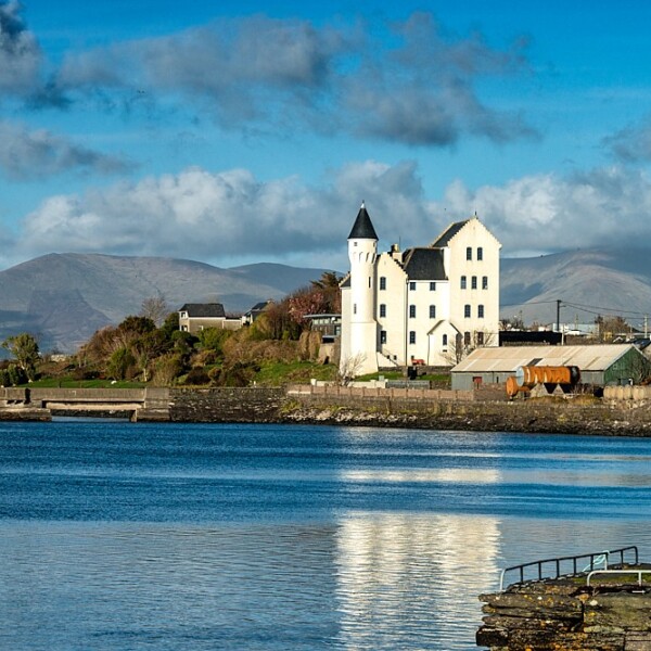 Hut site in CaherpierceHut site · 735 yd
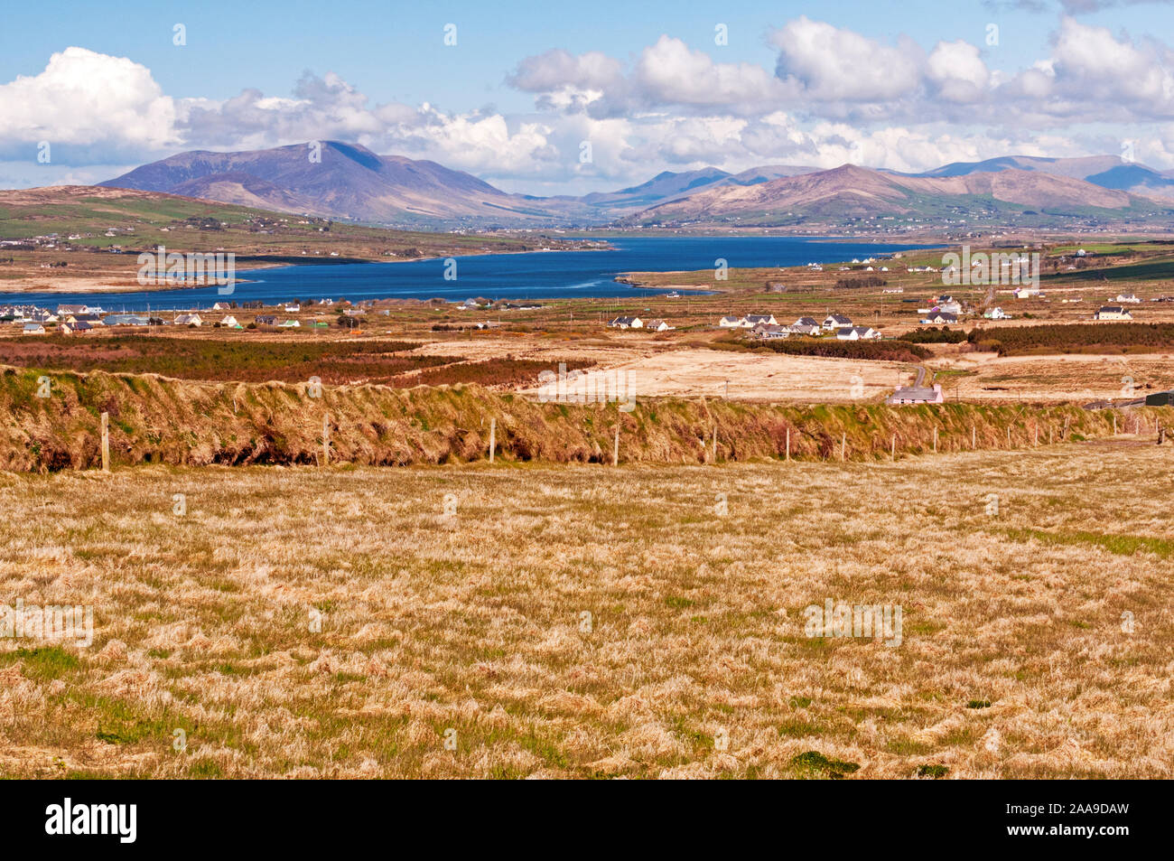 IndicatedHoly well · 1185 yd
 Cromane PointHeadland · 1.1 mi
 BeenduffMountain / peak · 1.5 mi
 KnockmoreMountain / peak · 1.6 mi
 Inch BeachBeach / strand · 2.8 mi
 Cromane BeachBeach / strand · 2.8 mi
 CastleCastle, unclassified · 4.1 mi
 Lough Yganavan Nature ReserveNature reserve · 4.2 mi
 Faisr's GraveArchaeological place · 4.3 mi