What is recorded here
No visible ruin remains, only the hidden weight of buried stone and forgotten time. What the ground swallowed, men and women once shaped with their hands. They measured distance, marked loss or watched the sky turn above County Mayo. The cairn still holds that shape beneath the grass, waiting for someone to remember why it was built.
The Archaeological Survey of Ireland (ASI) is in the process of providing information on all monuments on The Historic Environment Viewer (HEV). Currently the information for this record has not been uploaded. To access available information for research purposes please make an appointment in advance with the Archive Unit (open Fridays 10.00 am – 5.00 pm), Department of Housing, Local Government and Heritage, The Custom House, Dublin 1 D01W6XO or email NMarchive@housing.gov.ie.
The monument record does not grant public access. Check the route and ask the landowner before entering private land.
- What survives
- Recorded monument
Places near here
 IndicatedFairy fort / earthen ringfort · 788 yd
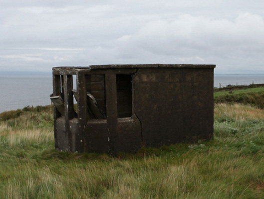 watch towerwatch tower · 1183 yd
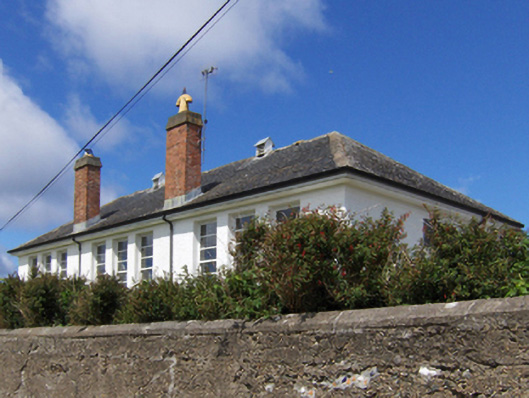 Saint Patrick's National Schoolschool · 1543 yd
 O'Malley's CastleCastle · 1.3 mi
 Carrowmore BeachBeach / strand · 1.6 mi
 Carrownisky BeachBeach / strand · 2.0 mi
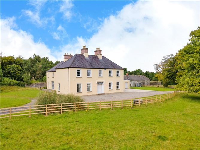 Enclosure in Bunnamohaun,lecarrow (murrisk By.)Enclosure · 3.1 mi
 Oldhead Wood Nature ReserveWood · 3.2 mi
 Granuaile's CastleCastle · 4.7 mi
 Clare IslandIsland · 6.7 mi
 ScalpatruceMountain / peak · 6.7 mi
 Ben GoramMountain / peak · 6.9 mi