What is recorded here
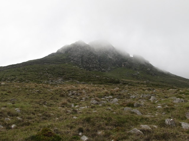
CAIRN in County Down, Ireland is a possible megalithic tomb from the prehistoric period, yet no exact chamber, date or builder is known. It may have marked a death, a boundary or a gift to the land, while people came and went without writing anything behind. The stones still belong to that old uncertainty, waiting to be seen plainly instead of repeated as a file.
The official Northern Ireland record identifies this as CAIRN - possibly Megalithic Tomb. Recorded period: PREHISTORIC. The official map point was placed at the centre of the recorded archaeological site from the source map reference.
The monument record does not grant public access. Check the route and ask the landowner before entering private land.
- What survives
- Recorded monument
Places near here
 ENCLOSURE in Ballyveagh MoreENCLOSURE · 702 yd
 CHURCH SITE & ENCLOSURE: KILMELOGE in Ballyveagh MoreCHURCH SITE & ENCLOSURE: KILMELOGE · 752 yd
 Black RockHeritage attraction · 1.2 mi
 Annalong Coastal PathWalking route · 1.8 mi
 Mourne Coastal Route: Annalong - A Granite PortVisitor information · 1.9 mi
 Annalong Corn MillMill · 1.9 mi
 Mullartown HouseHotel · 2.0 mi
 CASHEL?: OLD CASTLE (unlocated) in GlasdrummanCASHEL?: OLD CASTLE (unlocated) · 2.1 mi
 Hanna's Close WalkWalking route · 2.6 mi
 Round SeefinViewpoint · 2.7 mi
 Annalong WoodForest · 2.9 mi
 Wee BinnianCliff · 2.9 mi