
What is recorded here
Knocknagalty and Drumleagh still draw a line through rough pasture on Galtymore Mountain, but the small circular mound that marked the boundary has vanished from modern views. It resisted forgetting long enough to be drawn on a 19th-century map, yet even that much has become hard to picture. The mountain kept the name, swallowed the stone, and left the two places touching without a visible witness.
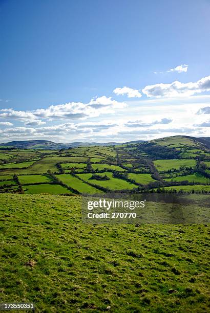
In rough pasture, on the SW slope of Galtymore Mountain, on the townland boundaries between Knocknagalty and Drumleagh. Annotated ‘Mound’ on the 1897 ed. OSi 25-inch map. Depicted on the Cassini ed. OSi 6-inch map as a small circular-shaped mound. No surface remains visible on Digital Globe orthoimage taken between 2011-2013 and on Google Earth orthoimages.
See attached Google Earth orthoimage
Compiled by: Fiona Rooney
Date of upload: 9 November 2021
The monument record does not grant public access. Check the route and ask the landowner before entering private land.
- What survives
- Recorded monument
Places near here
 GaltymoreMountain / peak · 410 yd
 MullaghanMountain / peak · 609 yd
 Hut site in KnocknagaltyHut site · 1.1 mi
 Noel's NippleNamed rock · 1.4 mi
 Aircraft Memorial 1976Memorial · 1.4 mi
 Lough CurraWalking route · 1.5 mi
 Hut site in DrumleaghHut site · 1.5 mi
 Giant's Rock - Rock of AglaishNamed rock · 1.9 mi
 Coopers WoodWood · 2.3 mi
 O'Loughman's CastleRuins · 2.6 mi
 Assaroula WaterfallWaterfall · 2.6 mi
 Glengarra WoodWood · 2.7 mi
Other information
Photo: Credit not shown in the picture search · Rights wording not checked; contact us if this picture should be removed