What is recorded here
In undulating pasture, on a gentle NE-facing slope. Oval area (dims. c. 20m E-W; c. 15m N-S) defined by a low bank (Wth 3.9m; int. H 0.2m; ext. H 1.3m) and slight trace of an external fosse (Wth 6m; D 0.15m) E-SW. The bank is visible from SE-SSW and is obscured by briars from NE-SE and SSW-NW. The bank profile in the NW-NE has been modified (Wth 4.5m; H 1.55m) by an area of quarrying. The interior is almost completely overgrown with whitethorn and briars. Other quarry pockets to the SW, W and NW have been used as dumps and are becoming overgrown with vegetation. There is an area of limestone rock outcrop to the N, between the monument and the field boundary (long axis WNW-ESE).
Compiled by: Jean Farrelly
Date of upload: 26 August 2011
The monument record does not grant public access. Check the route and ask the landowner before entering private land.
- What survives
- Recorded monument
Places near here
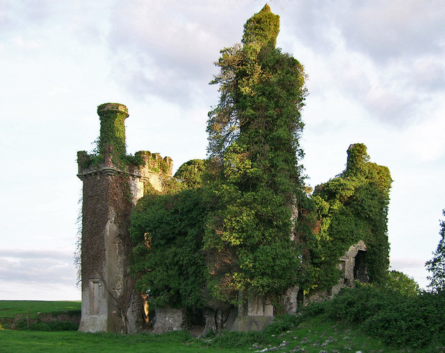 Thomastown CastleCastle · 1084 yd
 Cahervillehowe Housecountry house · 1205 yd
 Thomastown Castle GateRuins · 1291 yd
 Enclosure in Thomastown Demesne NorthEnclosure · 1339 yd
 Enclosure in Kilfeakle ChurchquarterEnclosure · 1385 yd
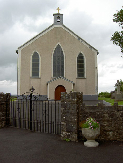 Saint Patrick's Catholic Churchchurch/chapel · 1453 yd
 European ashEuropean ash · 2.5 mi
 Dundrum Woods (Marl Bog)Forest · 4.3 mi
 I.R.A. 3rd. Tipperary Brigade MemorialMemorial · 4.4 mi
 It's a long way to TippereryHeritage attraction · 5.1 mi
 Soloheadbeg Ambushambush · 5.3 mi
 The RockViewpoint · 6.1 mi