What is recorded here
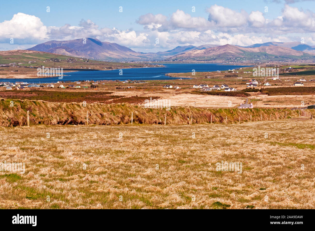
A small sub-circular enclosure situated on the S slopes of Mullaghmore mountain, overlooking Castlemaine Harbour. It measures 7 to 8m NW-SE x 5.8m NE-SW internally, and the earthen enclosing bank averages .9m in height internally and .7m externally. The entrance at SE is lined on its S side by a stone set on edge.
The above description is derived from J. Cuppage, ‘Corca Dhuibhne. Dingle Peninsula archaeological survey. Ballyferriter. Oidhreacht Chorca Dhuibhne’ (1986), no. 1533. In certain instances the entries have been revised and updated in the light of recent research.
Date of upload: 5 August 2013
The monument record does not grant public access. Check the route and ask the landowner before entering private land.
- What survives
- Recorded monument
Places near here
 Hut site in CaherpierceHut site · 132 yd
 IndicatedHoly well · 509 yd
 KilnKiln, corn-drying · 1096 yd
 Church in LackChurch · 1179 yd
 BeenduffMountain / peak · 1.2 mi
 EmlaghMountain / peak · 1.4 mi
 Cromane PointHeadland · 1.4 mi
 Inch BeachBeach / strand · 2.6 mi
 Cromane BeachBeach / strand · 3.0 mi
 CastleCastle, unclassified · 4.1 mi
 Faisr's GraveArchaeological place · 4.2 mi
 Lough Yganavan Nature ReserveNature reserve · 4.4 mi