What is recorded here
Cahernagormuck is a poorly preserved circular rath, about forty-five metres across, hidden in undulating Galway pastureland. Its bank survives only from southwest to west-northwest; elsewhere a sharp scarp defines the edge. Two hollows mark the interior, possibly quarry scars rather than domestic pits. Field boundaries still touch the monument, proving the rath never fully disappeared from local sight.
In undulating pastureland. Poorly preserved circular rath (diam. c. 45m) defined by traces of a bank from SW to WNW; elsewhere a scarp forms the enclosing element. Field boundaries border the monument at NNW and from SSE to SW. Two hollows within the interior may be the result of quarrying.
Compiled by: Galway Archaeological Survey, UCG
Date of upload: 18 February 2019
The monument record does not grant public access. Check the route and ask the landowner before entering private land.
- What survives
- Recorded monument
Places near here
 Site of Cloonoo CastleCastle, unclassified · 615 yd
 Enclosure in St LaurencesfieldsEnclosure · 1425 yd
 Blake's IslandIslet · 1.2 mi
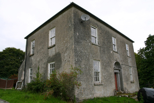 Glenvillecountry house · 1.3 mi
 Raruddy Castle (in ruins)Castle, tower house · 1.3 mi
 CaveMan-made underground passage · 1.4 mi
 Kilconickny Church (in ruins)Church · 1.4 mi
 Barrack IslandIslet · 1.6 mi
 Long PointHeadland · 2.4 mi
 Turoe StoneHeritage attraction · 3.8 mi
 Moyard WoodWood · 5.7 mi
 Scalpeen RockNamed rock · 5.7 mi