
What is recorded here
Cahermurphy is a stone ringfort near the top of a ridge in County Clare, Ireland. Its wide drystone wall still stands with a slight inward slope, and a narrow entrance opens toward the northeast. The interior slopes gently southward, and a small hut site touches the inner wall at the north. The fort commands broad views across the county, especially to the south, where the land falls away and the sky widens.
Situated near the top of an E-W ridge named Cahermurphy Hill and commanding good views especially to the south of the county. An almost circular cashel (39m E-W; 32m N-S) defined by a well built drystone wall of small flags (Wth 4.5-5.8m; ext. H 1.6-2.5m; int. H 1.3-2.2m) with a distinct batter. The original wall-facing is evident, highest (1.7m) from S to WSW. A flat outer terrace is evident SE to WSW and from WNW to N. An entrance (Wth 5.2m) at NE may be original. It is partially blocked by a later wall. The interior is uneven and slopes to S. A well-defined hut site (CL048-005001-) abuts the interior of the enclosing wall at N. (Westropp 1911, 129-131)
The following images have been uploaded:
CL048-005----_01.jpg From SW. General overview of cashel.
CL048-005----_02.jpg From S. Outer wall-facing.
CL048-005----_03.jpg From NE. View across interior.
This monument is subject to a preservation order made under the National Monuments Acts 1930 to 2014 (PO no. 4/1957).
Compiled by: Mary Tunney
Date of upload: 9 April 2019
Cahermurphy is a likely early-medieval ringfort, or cashel, situated on a prominent ridge and constructed as a well-built drystone enclosure. Local tradition and its strategic position suggest it may have been a defended homestead or religious site, while its association with the name "Cahermurphy" hints at a possible historical or legendary figure connected to the location.
The monument record does not grant public access. Check the route and ask the landowner before entering private land.
- What survives
- Recorded monument
Places near here
 LisbaunEcclesiastical enclosure · 898 yd
 Enclosure in CastleparkEnclosure · 1.1 mi
 Cahermurphy Castle (in Ruins)Castle, tower house · 1.3 mi
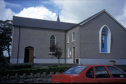 Catholic Church of Saint Michael the Archangelchurch/chapel · 2.4 mi
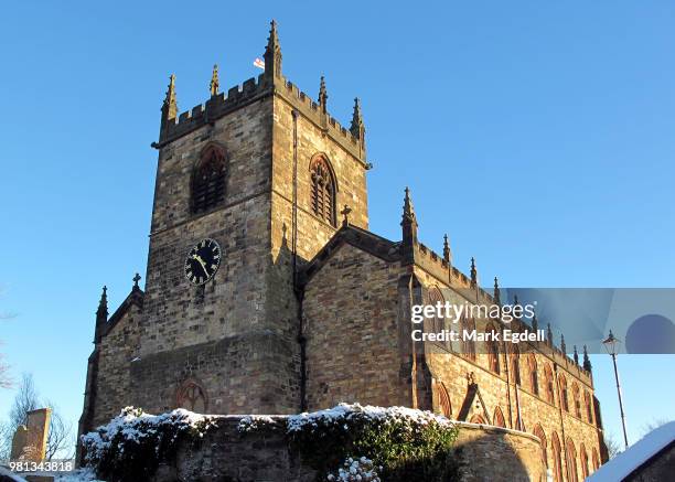 St Michaels Church (in Ruins)Church · 2.5 mi
 Doonogan Castle (Site of)Castle, tower house · 3.6 mi
 Doughmore BeachBeach / strand · 6.4 mi
 Emlagh PointHeadland · 6.7 mi
 SlievecallanMountain / peak · 6.8 mi
 Seafield North BeachBeach / strand · 6.9 mi
 Spanish Point BeachBeach / strand · 6.9 mi
 Lurga PointHeadland · 7.2 mi
Other information
Photo: Credit not shown in the picture search · Rights wording not checked; contact us if this picture should be removed