What is recorded here
Five sandstone slabs lie prostrate in boggy Cork ground, locally called the 5 Kings Graves. They rest on low blocks beside a stream, wrapped in a grassy spread of smaller stones. The arrangement suggests burial or marker rather than random dump, yet no chamber or carvings confirm that purpose.
In boggy ground, adjacent to stream. Known as '5 Kings Graves' (UCC). Named 'Cist' on 1940 OS 6-inch map. Five prostrate sandstone slabs, laid in a line (long axis NNW-SSE) with sides abutting resting on low sandstone blocks. Dimensions range from 0.9m x 0.5m to 1.05m x 0.45m, and all are subrectangular in shape. Grass-covered spread of stones surrounds the slabs.
The above description is derived from the published 'Archaeological Inventory of County Cork. Volume 3: Mid Cork' (Dublin: Stationery Office, 1997). In certain instances the entries have been revised and updated in the light of recent research.
Date of upload/revision: 14 January 2009
The monument record does not grant public access. Check the route and ask the landowner before entering private land.
- What survives
- Recorded monument
Places near here
 Fulacht FiadhFulacht fia · 297 yd
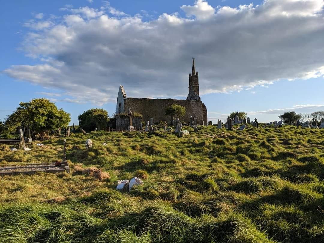 GravesBurial · 376 yd
 Bealahacreagh Bridgebridge · 1.0 mi
 sign postsign post · 1.3 mi
 Carrigaphooca CastleCastle · 2.9 mi
 Cnoc na nUlán (mullach thoir)Mountain / peak · 3.0 mi
 Neill's WoodWood · 3.2 mi
 Curraheen WoodWood · 3.5 mi
 KnockullaneMountain / peak · 3.8 mi
 Clonavrick CliffCliff · 4.0 mi
 Dundareirke Castle (in Ruins)Castle, tower house · 4.0 mi
 Macroom WalksVisitor information · 4.5 mi