
What is recorded here
Indicated is a fairy fort on a Galway pasture rise, an oval cashel forty-one metres long and thirty-six wide. Its thick drystone wall still stands half a metre high around the east, while field rubble has buried much of the west. The contrast suggests human hands kept one side clear for entry or watch, leaving the other to rot into the earth.
On a rise in pastureland. This oval cashel (41m N-S; 36m E-W) is defined by a drystone wall (Wth 3m; H 0.6m), which is best preserved around the E half of the monument where inner and outer wall-facing survives. Around the W half the facing survives sporadically. Field-clearance rubble has been packed against the outer wall-face at SE, S and W (Cody 1989, 235-6, no. 66).
Compiled by: Galway Archaeological Survey, UCG
Date of upload: 11 January 2017
The monument record does not grant public access. Check the route and ask the landowner before entering private land.
- What survives
- Recorded monument
Places near here
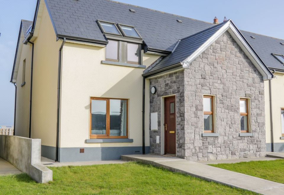 CahermoreFairy fort / stone ringfort · 725 yd
 CaherhenryFairy fort / stone ringfort · 845 yd
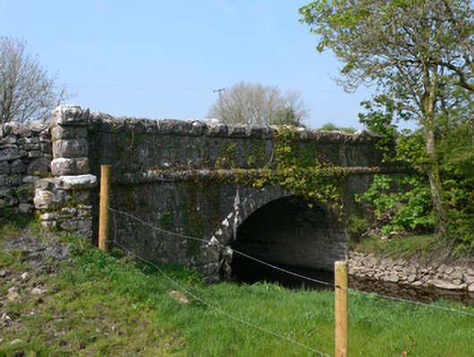 Whistle Bridgebridge · 1427 yd
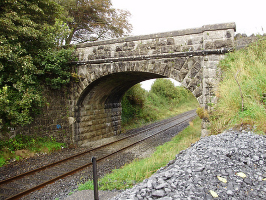 Derrydonnell Bridgebridge · 1690 yd
 Derrydonnell Castle (in ruins)Castle, tower house · 1.2 mi
 Bawn in MoyveelaBawn · 1.3 mi
 Athenry AbbeyHeritage attraction · 3.1 mi
 Athenry CastleHeritage attraction · 3.2 mi
 Horse-chestnutHorse-chestnut · 3.2 mi
 First Battle of Athenrybattle · 3.6 mi
 Moyard WoodWood · 3.7 mi
 Leadmine HillMountain / peak · 7.7 mi
Other information
Photo: Credit not shown in the picture search · Rights wording not checked; contact us if this picture should be removed