
What is recorded here
There is no visible trace of the circular univallate enclosure marked at this location on the first edition of the OS map. The site, known locally as a 'fort', was located on a gentle S facing slope a short distance N of the Ferta river. It was levelled during the 1920s (local information).
The above description is derived from A. O'Sullivan and J. Sheehan (compilers), 'The Iveragh peninsula: an archaeological survey of South Kerry'. Cork University Press (1996), no. 639. In certain instances the entries have been revised and updated in the light of recent research.
Date of upload: 29 July 2013
This remains an important historical record, but the official description says the monument is no longer visible or has been destroyed. The monument record does not grant public access. Check the route and ask the landowner before entering private land.
- What survives
- No visible remains or recorded as destroyed
Places near here
 Enclosure in DerreenmoriaEnclosure · 1.1 mi
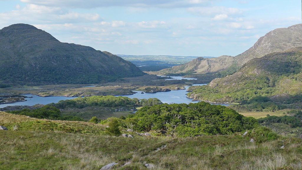 LisnalourFairy fort / earthen ringfort · 1.1 mi
 Church in CaherlehillanChurch · 1.4 mi
 Killinane Church (in ruins)Church · 2.3 mi
 Short Castle (Site of)Castle, unclassified · 2.3 mi
 CaunogeMountain / peak · 2.4 mi
 Kells Mtn East TopMountain / peak · 2.5 mi
 Soft Tree-fernSoft Tree-fern · 3.2 mi
 Chilean wine palmChilean wine palm · 3.3 mi
 Kells BeachBeach / strand · 3.4 mi
 Sheep Dog TrainingHeritage attraction · 4.1 mi
 FeaklecallyHeadland · 4.9 mi
Other information
Photo: Credit not shown in the picture search · Rights wording not checked; contact us if this picture should be removed