What is recorded here
Thirty metres of broken stone circle a rocky hill in Caherdaly, marking a boundary humans drew before forgetting the name. Inside, a straight wall splits the space into two rooms, suggesting the fort belonged to someone proud enough to keep guests or herds apart. The gaps at the edge appeared later, when rope and gravity took the wall apart, yet the shape still resists erasure.
In rock outcrop. Subcircular cashel (34m E-W; 30.4m N-S), in fair condition, defined by a collapsed drystone wall; evidence of stone-facing survives intermittently. Gaps at NE and SE are modern. An internal dividing wall runs N-S through the interior. The foundations of two house sites are visible to E of it: (a) to N (L 5.3m; Wth 4.8m) is free-standing, (b) to S (L 6m; Wth 4m) partially overlies the cashel wall; both are probably modern (SMR file). (McCaffrey 1952, 266, no. 14)
Compiled by: Galway Archaeological Survey, UCG
Date of upload: 11 January 2017
This monument is subject to a preservation order made under the National Monuments Acts 1930 to 2014 (PO no. 7/1983).
The monument record does not grant public access. Check the route and ask the landowner before entering private land.
- What survives
- Recorded monument
Places near here
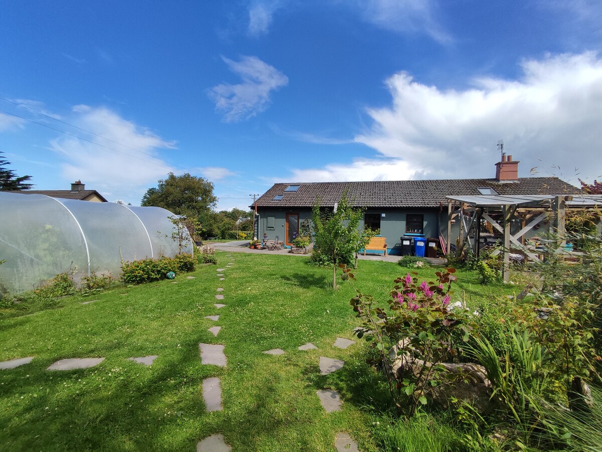 Enclosure in CaherateigeEnclosure · 1039 yd
 CaveMan-made underground passage · 1108 yd
 Ardrahan Churchchurch/chapel · 1519 yd
 Castle (in ruins)Castle, Anglo-Norman masonry castle · 1570 yd
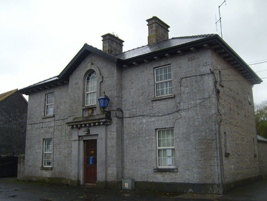 Ardrahan Garda Síochána StationRIC barracks · 1618 yd
 Drumharsna CastleHeritage attraction · 1.2 mi
 Drumharsna Castle (in ruins)Castle, tower house · 1.2 mi
 HawthornHawthorn · 3.2 mi
 European ashEuropean ash · 3.2 mi
 Drumacoo Monastic SiteHeritage attraction · 4.2 mi
 Mulroney's IslandIslet · 4.9 mi
 MweenisharanIslet · 5.5 mi