
What is recorded here
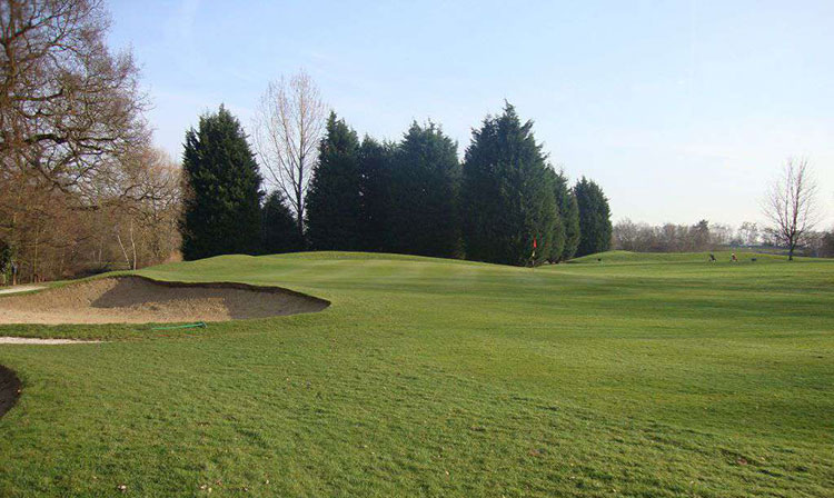
Caherbriskaun is a fairy fort in County Galway, reduced from a long stone enclosure to a low oval hillock barely half a metre high. The SE wall had already vanished by 1896, and grass has since swallowed what remained. If the fairies ever lived there, they clearly preferred not to be measured.
In level grassland. Marked on 2nd ed. of OS 6-inch map (1896) as an oblong enclosure (c. 65m by c. 20m), its long axis running NE-SW, the SE side of which was by then evidently already defaced. All that is now visible is a low oval hillock (E-W c. 45m, N-S c. 35m, H 0.6m), possibly largely natural.
The above description is derived from the published 'Archaeological Inventory of County Galway Vol. II - North Galway'. Compiled by Olive Alcock, Kathy de hÓra and Paul Gosling (Dublin: Stationery Office, 1999).
Date of upload: 05 August 2010
The monument record does not grant public access. Check the route and ask the landowner before entering private land.
- What survives
- Recorded monument
Places near here
 IndicatedFairy fort / stone ringfort · 1270 yd
 Moor Abbey (in ruins)Religious house, unclassified · 1565 yd
 CaherFairy fort / earthen ringfort · 1603 yd
 Castle LambertCountry house · 1.0 mi
 Castle (in Ruins)Castle, unclassified · 1.6 mi
 Derrydonnell Castle (in ruins)Castle, tower house · 1.7 mi
 Horse-chestnutHorse-chestnut · 3.2 mi
 First Battle of Athenrybattle · 3.3 mi
 Athenry AbbeyHeritage attraction · 3.4 mi
 Athenry CastleHeritage attraction · 3.4 mi
 Kilcornan WoodWood · 4.5 mi
 Rabbit IslandIslet · 8.0 mi
Other information
Photo: Credit not shown in the picture search · Rights wording not checked; contact us if this picture should be removed