What is recorded here
Stand behind the tall stone at Caherbreagh and watch the shadow stretch west as evening comes. The flat land beyond the hill has no mark for the shadow to touch, so the dark line disappears into the distance like a road leaving the world. The stone may have measured the passing of days or called people together beneath an open sky. Either way it still points outside the visible place, inviting imagination to follow its line.
'This stone is situated on top of a small rounded hill, which offers splendid views on all sides. The land is used for rich pasture and the hill on which this stone occurs appears to be of limestone. This stone stands 1.31m in height and measures 0.26m by 0.22m at base. It is roughly rectangular in plan, and also in elevation, tapering to a rough point. The stone is aligned NE/SW.'
Compiled by Michael Connolly for the Archaeological Survey of Ireland as part of a survey of the Lee Valley area in 1996-97.
Date of upload: 02 May 2012
The monument record does not grant public access. Check the route and ask the landowner before entering private land.
- What survives
- Recorded monument
Places near here
 Enclosure in Ballingowan (trughanacmy By.)Enclosure · 535 yd
 Ballyseede Castle HotelCastle · 742 yd
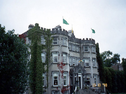 Ballyseede Castlecountry house · 763 yd
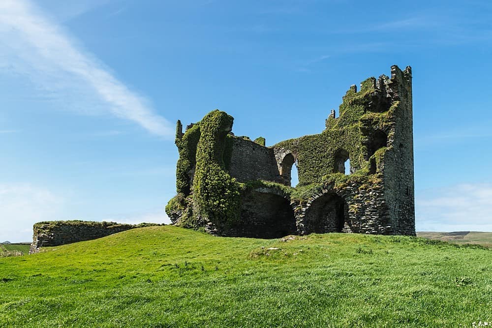 CastleCastle, unclassified · 822 yd
 Burnt spread in Curraghmacdonagh (trughanacmy By., Ballymacelligott Par.)Burnt spread · 942 yd
 Common AlderCommon Alder · 1031 yd
 Ballyseedy WoodWood · 1179 yd
 Ballyseedy Church (in ruins)Church · 1212 yd
 PoulatouirtCave · 1.5 mi
 Poulclashcannon (blocked)Cave · 1.6 mi
 Civil War MemorialMemorial · 2.0 mi
 Crimea Cannon and War MemorialMonument · 2.5 mi