What is recorded here
No certain story exists, but the stone still stands in Burren, County Down, marked as a prehistoric standing stone. It may have watched fields, roads or rituals long before the place had a name. What is known is that people valued the area enough to record the stone, and it remains visible in the landscape.
The official Northern Ireland record identifies this as STANDING STONE. Recorded period: PREHISTORIC; UNCERTAIN. The official map point was placed at the centre of the recorded archaeological site from the source map reference.
The monument record does not grant public access. Check the route and ask the landowner before entering private land.
- What survives
- Recorded monument
Places near here
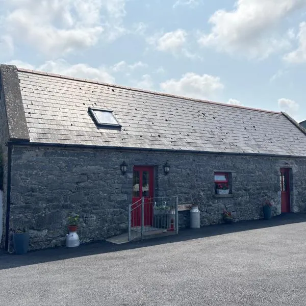 A.P. SITEA.P. SITE, bivallate enclosure · 741 yd
 ENCLOSURE in BallydeslandENCLOSURE · 1072 yd
 Narrow Water CastleCastle · 1.1 mi
 Warrenpoint ambushambush · 1.2 mi
 Narrow Water WatchtowerVisitor information · 1.2 mi
 TOWER-HOUSE AND BAWN: NARROW WATER CASTLE in Narrow WaterTOWER-HOUSE AND BAWN: NARROW WATER CASTLE · 1.2 mi
 Narrow Water KeepHeritage attraction · 1.2 mi
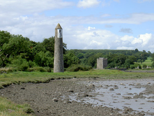 Newry River Lighthouse (Rear)beacon · 1.4 mi
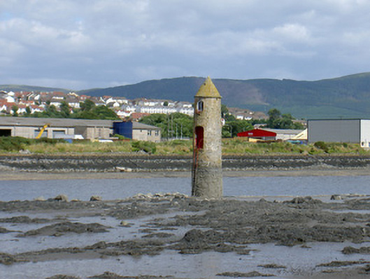 Newry River Lighthouse (Front)beacon · 1.5 mi
 Joanne ReillyMemorial · 1.8 mi
 Dobbin's PointHeadland · 2.3 mi
 Ring of Gullion Way - Section 2Walking route · 2.6 mi