What is recorded here
Located in low-lying, damp, rush-grown pasture, adjacent to a NNW-SSE drain/stream. This burnt mound was exposed during land reclamation in 2006. It appeared as a slightly raised, dense concentration (diam. c. 4m) of angular stone fragments in charcoal-rich soil. It was not possible to determine the original limits of the spread. Another burnt mound (SL014-278----) is located 20m to N, and there is a Holy Well (SL014-106----) c. 45m to SSE.
Compiled by: Jane O'Shaughnessy
Date of upload: 22 July 2015
Burnt mound in Tobernaveen is a prehistoric ritual or domestic feature, likely dating to the Neolithic or Bronze Age. It represents evidence of ancient human activity associated with heat-related practices, such as cooking or ceremonial use.
The monument record does not grant public access. Check the route and ask the landowner before entering private land.
- What survives
- Recorded monument
Places near here
 TobernaveenHoly well · 56 yd
 Enclosure in BallydooganEnclosure · 504 yd
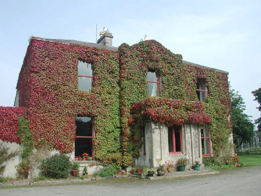 Woodville Househouse · 811 yd
 Carrowmore Megalithic CemeteryHeritage attraction · 1288 yd
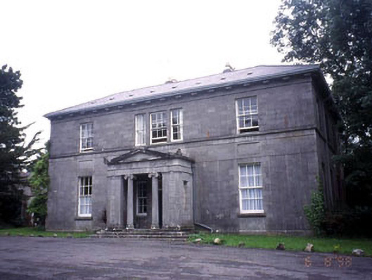 Kevinsfort Househouse · 1320 yd
 Carrowmore Visitors CentreVisitor information · 1445 yd
 St. John's CathedralMemorial · 1.5 mi
 Discover IrelandVisitor information · 1.7 mi
 Famine MemorialMonument · 1.7 mi
 CastleCastle, Anglo-Norman masonry castle · 1.7 mi
 Sligo AbbeyMuseum · 1.8 mi
 European BeechEuropean Beech · 2.5 mi